Paremoremo Area, Paremoremo Postcode(0793) & Map in Paremoremo
Paremoremo Area, Paremoremo Postcode(0793) & Map in Paremoremo, Auckland, New Zealand
Paremoremo, Auckland, New Zealand
Paremoremo Area (estimated)
9.6 square kilometersParemoremo Population (estimated)
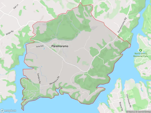
1616 people live in Paremoremo, Upper Harbour, NZParemoremo Suburb Area Map (Polygon)
Paremoremo Introduction
Paremoremo is a suburb of Auckland, New Zealand, located in the Waitakere City Council area. It is known for its rural atmosphere, scenic views, and proximity to the Waitakere Ranges. The suburb has a population of around 1,200 people and is located approximately 10 kilometers west of Auckland City. Paremoremo is a popular destination for outdoor enthusiasts, with numerous walking and cycling trails in the surrounding area. The area also has a community hall, a library, and a small supermarket.Region
Major City
Suburb Name
Paremoremo (Maori Name: Pāremoremo)Other Name(s)
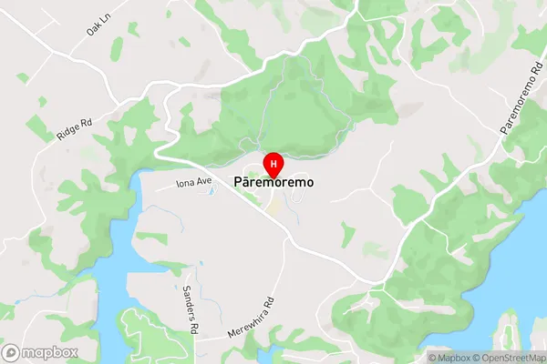
Albany North, Albany VillageParemoremo Area Map (Street)
Local Authority
AucklandFull Address
Paremoremo, Auckland, New ZealandAddress Type
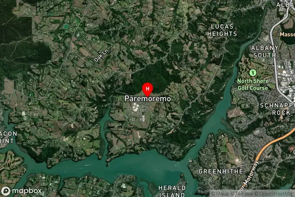
Suburb in City AucklandParemoremo Suburb Map (Satellite)
Country
Main Region in AU
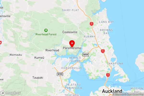
AucklandParemoremo Region Map
Coordinates
-36.7532504,174.6483481 (latitude/longitude)Distances
The distance from Paremoremo, Auckland, Auckland to NZ Top 10 Cities