Horeke Suburbs & Region, Horeke Map & Postcodes in Horeke, Far North, Northland
Horeke Postcodes, Horeke ZipCodes, Horeke , Horeke Northland, Horeke Suburbs, Horeke Region, Horeke Map, Horeke Area
Horeke Region (Ivydale, Mangataraire, Mangungu, Maraeroa, Okaka, Rahiri, Utakura, Wairere Region)
Horeke Suburbs
Horeke is a suburb place type in Far North, Northland, NZ. It contains 0 suburbs or localities.Horeke district
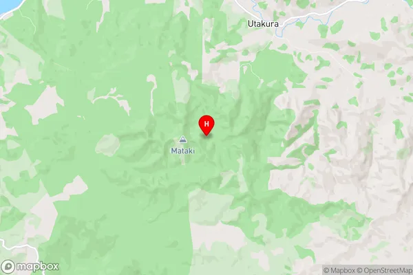
Far NorthHoreke Region Map
Horeke Introduction
Horeke is a small settlement in Northland, New Zealand. It is located on the Hokianga Harbour and is known for its beautiful beaches, native forests, and historic ruins. The area was once home to the Hokianga Maori tribe, and there are several archaeological sites in the vicinity. Horeke is also a popular destination for outdoor enthusiasts, with many opportunities for hiking, fishing, and kayaking. The town has a small population of around 100 people and is surrounded by stunning natural scenery.Horeke Region
Horeke City
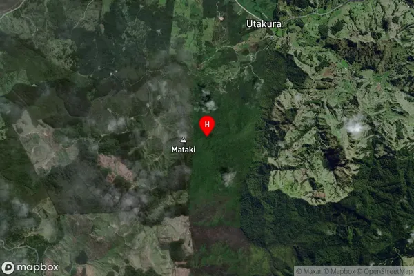
Horeke Satellite Map
Full Address
Horeke, Far North, NorthlandHoreke Coordinates
-35.373344,173.658282 (Latitude / Longitude)Horeke Map in NZ
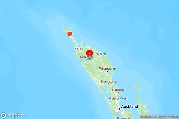
NZ Island
North IslandCountry
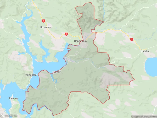
Horeke Area Map (Polygon)
Name
HorekeAdditional Name
Ivydale, Mangataraire, Mangungu, Maraeroa, Okaka, Rahiri, Utakura, WairereLocal Authority
Far North District
Horeke Suburbs (Sort by Population)
Horeke also known as Ivydale, Mangataraire, Mangungu, Maraeroa, Okaka, Rahiri, Utakura, Wairere. Horeke suburb has around
178.4 square
kilometers.There are more than 548 people (estimated)
live in Horeke, Kaikohe-Hokianga Community, Northland, New Zealand.