Horeke Area, Horeke Postcode(0491) & Map in Horeke
Horeke Area, Horeke Postcode(0491) & Map in Horeke, Far North District, New Zealand
Horeke, Far North District, New Zealand
Horeke Postcodes
Horeke Area (estimated)
178.4 square kilometersHoreke Population (estimated)
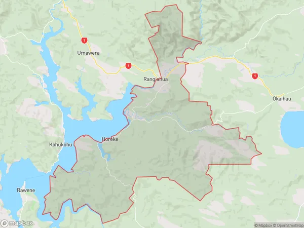
548 people live in Horeke, Kaikohe-Hokianga Community, NZHoreke Suburb Area Map (Polygon)
Horeke Introduction
Horeke is a small rural community in Northland, New Zealand. It is located on the Hokianga Harbour and is known for its beautiful beaches, native forests, and historic buildings. The area has a rich cultural heritage, with many traditional Maori sites and activities to explore. Horeke is also home to a variety of wildlife, including kiwi, tui, and kea.Region
Major City
Suburb Name
HorekeOther Name(s)
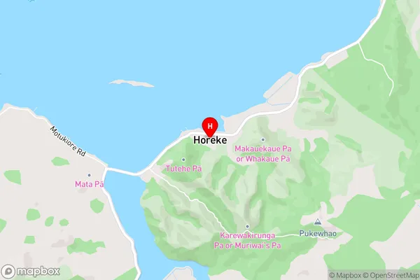
Ivydale, Mangataraire, Mangungu, Maraeroa, Okaka, Rahiri, Utakura, WairereHoreke Area Map (Street)
Local Authority
Far North DistrictFull Address
Horeke, Far North District, New ZealandAddress Type
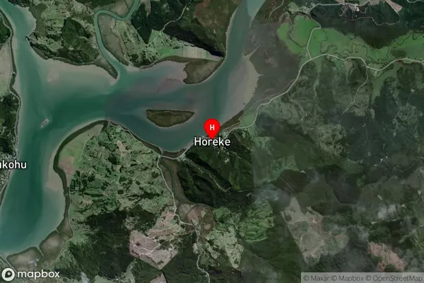
Locality in Town OkaihauHoreke Suburb Map (Satellite)
Country
Main Region in AU
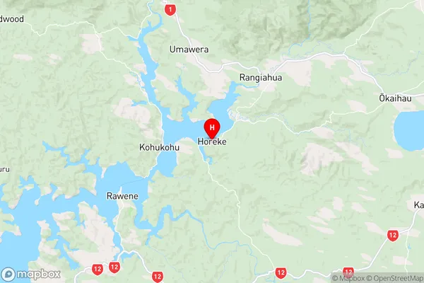
NorthlandHoreke Region Map
Coordinates
-35.3567081,173.593211 (latitude/longitude)Distances
The distance from Horeke, Okaihau, Far North District to NZ Top 10 Cities