Hauraki Suburbs & Region, Hauraki Map & Postcodes in Hauraki, North Shore City, Auckland
Hauraki Postcodes, Hauraki ZipCodes, Hauraki , Hauraki Auckland, Hauraki Suburbs, Hauraki Region, Hauraki Map, Hauraki Area
Hauraki Region
Hauraki Suburbs
Hauraki is a suburb place type in North Shore City, Auckland, NZ. It contains 0 suburbs or localities.Hauraki district
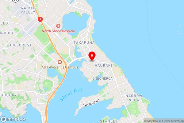
North ShoreHauraki Region Map

Hauraki Introduction
Hauraki, Auckland, New Zealand, is a large suburban area with a population of around 50,000 people. It is located on the Hauraki Gulf and is known for its beautiful beaches, lush parks, and vibrant cultural scene. The area has a rich history, with many ancient Māori settlements and a significant military presence during World War II. Hauraki also has a variety of shopping centers, restaurants, and entertainment venues, making it a popular destination for both locals and tourists.Hauraki Region
Hauraki City
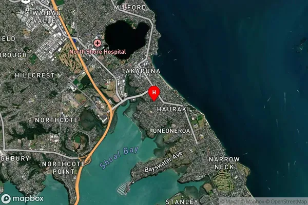
Hauraki Satellite Map

Full Address
Hauraki, North Shore City, AucklandHauraki Coordinates
-36.797324,174.775726 (Latitude / Longitude)Hauraki Map in NZ

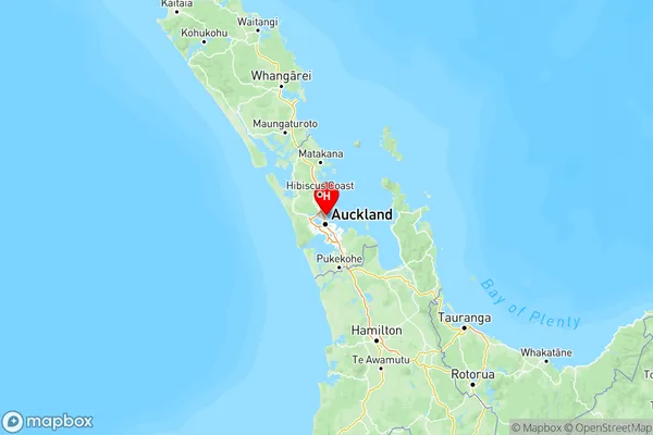
NZ Island
North IslandCountry
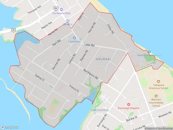
Hauraki Area Map (Polygon)

Name
HaurakiAdditional Name
Local Authority
Auckland
Hauraki Suburbs (Sort by Population)
Hauraki suburb has around
1.7 square
kilometers.There are more than 4606 people (estimated)
live in Hauraki, Devonport-Takapuna, Auckland, New Zealand.