Hauraki Area, Hauraki Postcode(0622) & Map in Hauraki
Hauraki Area, Hauraki Postcode(0622) & Map in Hauraki, Auckland, New Zealand
Hauraki, Auckland, New Zealand
Hauraki Area (estimated)
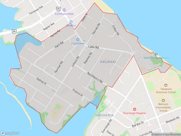
1.7 square kilometersHauraki Population (estimated)
4606 people live in Hauraki, Devonport-Takapuna, NZHauraki Suburb Area Map (Polygon)
Hauraki Introduction
Hauraki, Auckland, Auckland, New Zealand, is a large suburban area with a population of around 50,000 people. It is known for its beautiful beaches, lush green parks, and vibrant cultural scene. The area has a rich history and was once home to the Maori people. It is also home to several popular attractions, including the Hauraki Gulf Marine Park, the Auckland Zoo, and the Mt. Smart Stadium.Region
Major City
Suburb Name
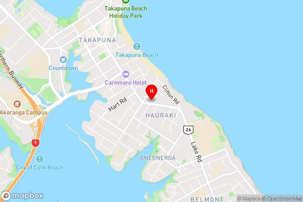
HaurakiHauraki Area Map (Street)
Local Authority
AucklandFull Address
Hauraki, Auckland, New ZealandAddress Type
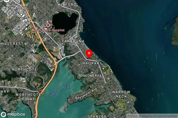
Suburb in City AucklandHauraki Suburb Map (Satellite)
Country
Main Region in AU
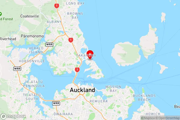
AucklandHauraki Region Map
Coordinates
-36.7971809,174.7805076 (latitude/longitude)Distances
The distance from Hauraki, Auckland, Auckland to NZ Top 10 Cities