Albany Suburbs & Region, Albany Map & Postcodes in Albany, North Shore City, Auckland
Albany Postcodes, Albany ZipCodes, Albany , Albany Auckland, Albany Suburbs, Albany Region, Albany Map, Albany Area
Albany Region (Albany Village, Brookfield, Bushlands, Cuthill, Meadowood, North Harbour, Sunset North Region)
Albany Suburbs
Albany is a suburb place type in North Shore City, Auckland, NZ. It contains 0 suburbs or localities.Albany district
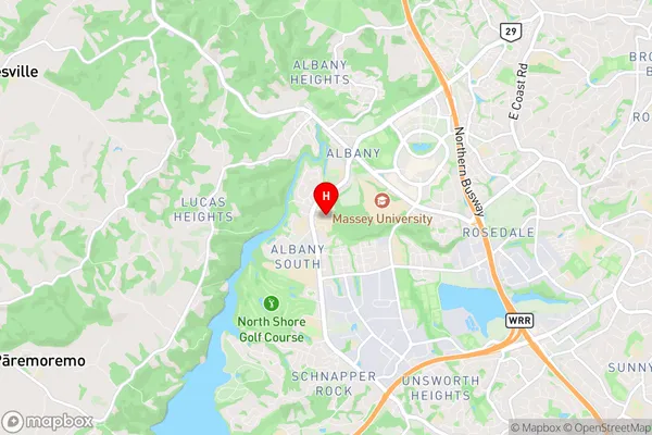
North ShoreAlbany Region Map

Albany Introduction
Albany is a suburb of Auckland, New Zealand, and is located in the North Shore region. It is known for its shopping malls, including Albany Village and Westfield Albany, as well as its beaches, including Marine Reserve and Pakuranga Beach. The suburb has a population of around 40,000 people and is home to a number of notable landmarks, including the Albany Stadium and the Albany War Memorial Library.Albany Region
Albany City
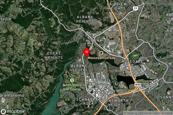
Albany Satellite Map

Full Address
Albany, North Shore City, AucklandAlbany Coordinates
-36.735169,174.693773 (Latitude / Longitude)Albany Map in NZ

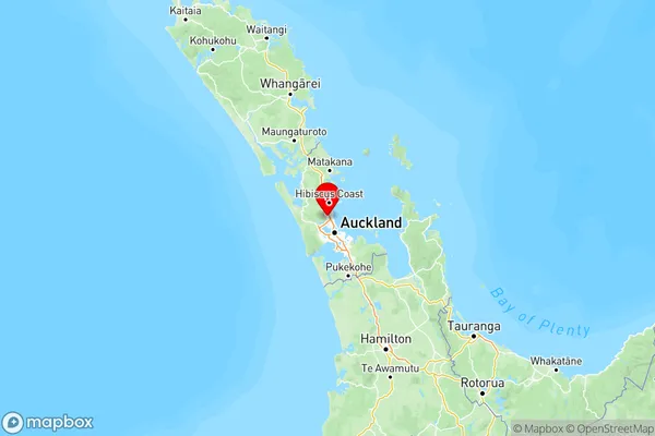
NZ Island
North IslandCountry
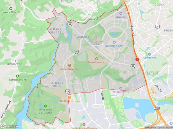
Albany Area Map (Polygon)

Name
AlbanyAdditional Name
Albany Village, Brookfield, Bushlands, Cuthill, Meadowood, North Harbour, Sunset NorthLocal Authority
Auckland
Albany Suburbs (Sort by Population)
Albany also known as Albany Village, Brookfield, Bushlands, Cuthill, Meadowood, North Harbour, Sunset North. Albany suburb has around
8.8 square
kilometers.There are more than 8376 people (estimated)
live in Albany, Upper Harbour, Auckland, New Zealand.