Albany Area, Albany Postcode(0632) & Map in Albany
Albany Area, Albany Postcode(0632) & Map in Albany, Auckland, New Zealand
Albany, Auckland, New Zealand
Albany Area (estimated)
8.8 square kilometersAlbany Population (estimated)
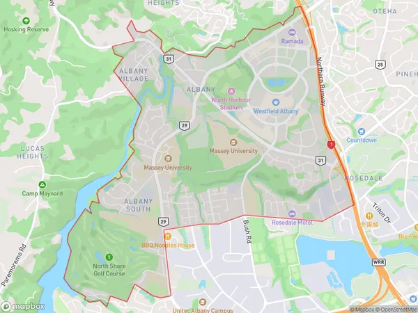
8376 people live in Albany, Upper Harbour, NZAlbany Suburb Area Map (Polygon)
Albany Introduction
Albany is a suburb of Auckland, New Zealand, with a population of around 40,000 people. It is located in the North Shore region and is known for its shopping malls, cafes, and beaches. Albany also has a large student population due to the nearby Auckland University of Technology. The suburb is well-serviced by public transport, with several bus routes and the Auckland Train Station located within walking distance.Region
Major City
Suburb Name
AlbanyOther Name(s)
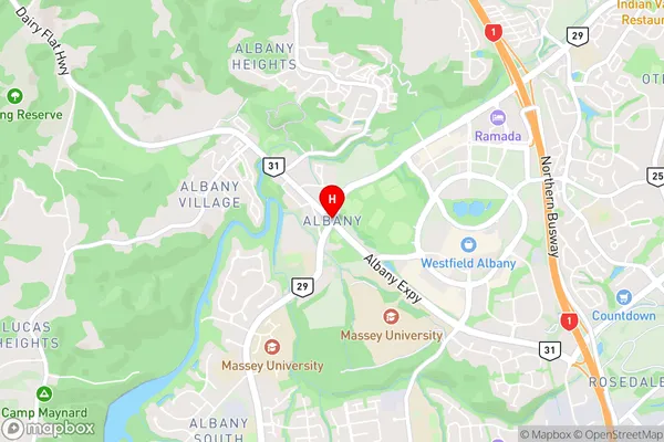
Albany Village, Brookfield, Bushlands, Cuthill, Meadowood, North Harbour, Sunset NorthAlbany Area Map (Street)
Local Authority
AucklandFull Address
Albany, Auckland, New ZealandAddress Type
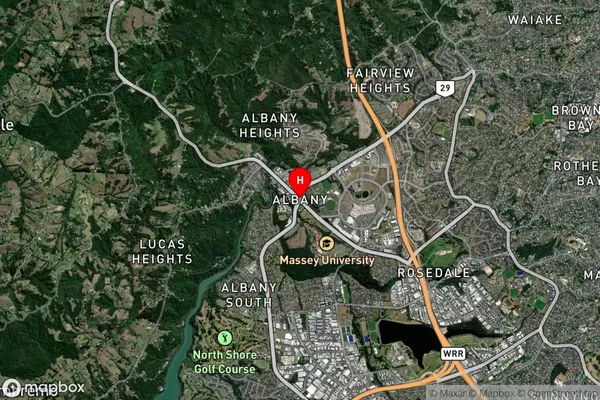
Suburb in City AucklandAlbany Suburb Map (Satellite)
Country
Main Region in AU
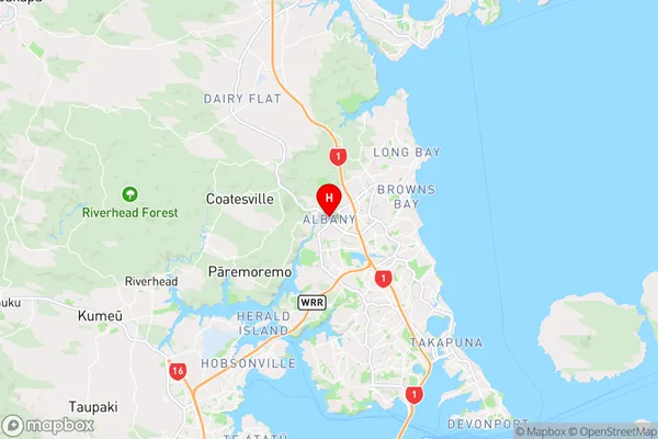
AucklandAlbany Region Map
Coordinates
-36.7270579,174.6980553 (latitude/longitude)Distances
The distance from Albany, Auckland, Auckland to NZ Top 10 Cities