Wiri Suburbs & Region, Wiri Map & Postcodes in Wiri, South Auckland, Auckland, North Island, New Zealand
Wiri Postcodes, Wiri ZipCodes, Wiri , Wiri Auckland, Wiri Suburbs, Wiri Region, Wiri Map, Wiri Area
Wiri Region (Mangere South Region)
Wiri Suburbs
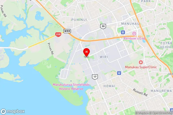
Wiri is a suburb place type in South Auckland, Auckland, North Island, New Zealand, NZ. It contains 0 suburbs or localities.Wiri district
South AucklandWiri Region Map

Wiri Introduction
Wiri is a suburb of Auckland, New Zealand, with a population of around 10,000 people. It is located in the southern part of the city and is known for its industrial and commercial areas. The suburb has a number of parks and recreational facilities, including Wiri Park and the Wiri Sports Facility. Wiri is also home to a number of major businesses, including the Wiri Oil Refinery and the New Zealand Steel Mill. The suburb is well-connected to the rest of Auckland via public transport, with the Wiri Station located on the Southern Line.Wiri Region
Wiri City
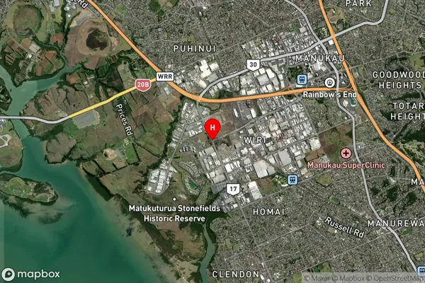
Wiri Satellite Map

Full Address
Wiri, South Auckland, Auckland, North Island, New ZealandWiri Coordinates
-37.0060675,174.8552808 (Latitude / Longitude)Wiri Map in NZ

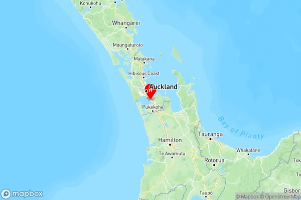
NZ Island
North IslandCountry
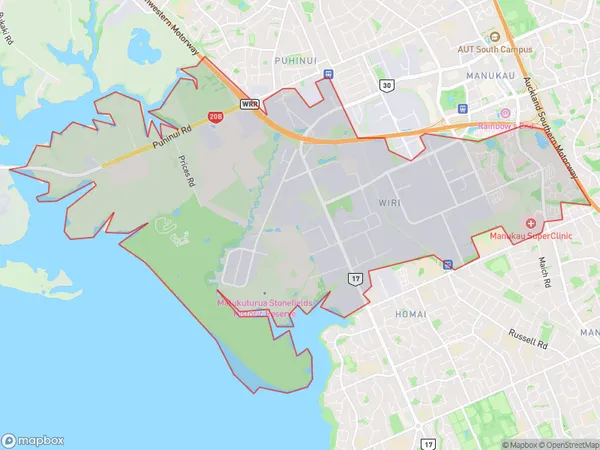
Wiri Area Map (Polygon)

Name
WiriAdditional Name
Mangere SouthLocal Authority
Auckland
Wiri Suburbs (Sort by Population)
Wiri also known as Mangere South. Wiri suburb has around
20.1 square
kilometers.There are more than 5266 people (estimated)
live in Wiri, Manurewa, Auckland, New Zealand.