Wiri Area, Wiri Postcode(2104) & Map in Wiri
Wiri Area, Wiri Postcode(2104) & Map in Wiri, Auckland, New Zealand
Wiri, Auckland, New Zealand
Wiri Area (estimated)
20.1 square kilometersWiri Population (estimated)
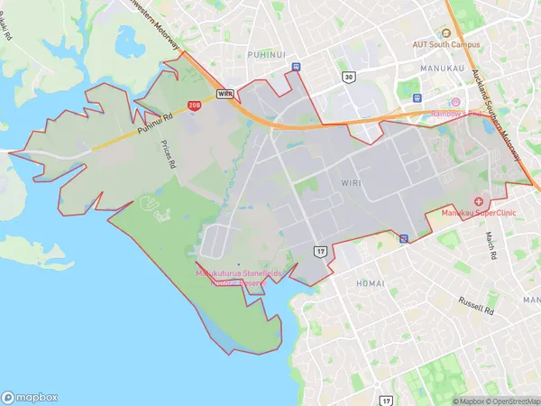
5266 people live in Wiri, Manurewa, NZWiri Suburb Area Map (Polygon)
Wiri Introduction
Wiri is a suburb in Auckland, New Zealand, with a population of around 10,000 people. It is located in the southern part of the city and is known for its industrial area and rail yards. The suburb has a mix of residential and commercial properties and is home to several major businesses, including the Wiri Oil Refinery and the New Zealand Steel Mill. Wiri also has a large community of Pacific Islanders, and there are several Pacific Islander churches and cultural centers in the area.Region
Major City
Suburb Name
WiriOther Name(s)
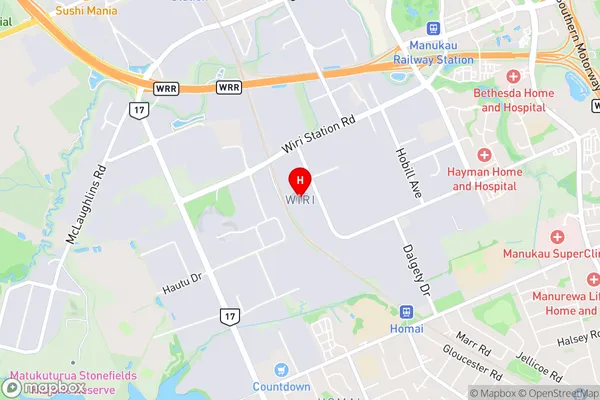
Mangere SouthWiri Area Map (Street)
Local Authority
AucklandFull Address
Wiri, Auckland, New ZealandAddress Type
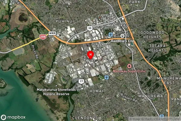
Suburb in City AucklandWiri Suburb Map (Satellite)
Country
Main Region in AU
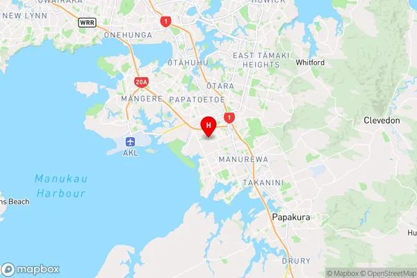
AucklandWiri Region Map
Coordinates
-37.0058167,174.8655421 (latitude/longitude)Distances
The distance from Wiri, Auckland, Auckland to NZ Top 10 Cities