Whitford Suburbs & Region, Whitford Map & Postcodes in Whitford, Auckland, North Island, New Zealand
Whitford Postcodes, Whitford ZipCodes, Whitford , Whitford Auckland, Whitford Suburbs, Whitford Region, Whitford Map, Whitford Area
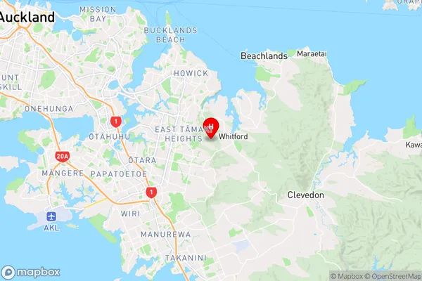
Whitford Region (Ormiston, Turanga, Wairere Region)
Whitford Suburbs
Whitford is a city place type in Auckland, North Island, New Zealand, NZ. It contains 1 suburbs or localities.Whitford Region Map
Whitford Introduction
Whitford is a suburb of Auckland, New Zealand, and is located in the Waitakere City Council area. It is a western suburb that is situated 10 kilometers from the Auckland CBD and has a population of around 20,000 people. The suburb is known for its lush green parks, such as Whitford Park and Pinehurst Reserve, and its popular shopping centers, including Westfield Whitford and The Gardens. Whitford also has a number of schools, including Whitford College and St. John's College, and is home to a number of healthcare facilities, including Whitford Hospital.Whitford Region
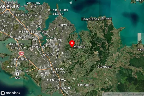
Whitford Satellite Map
Full Address
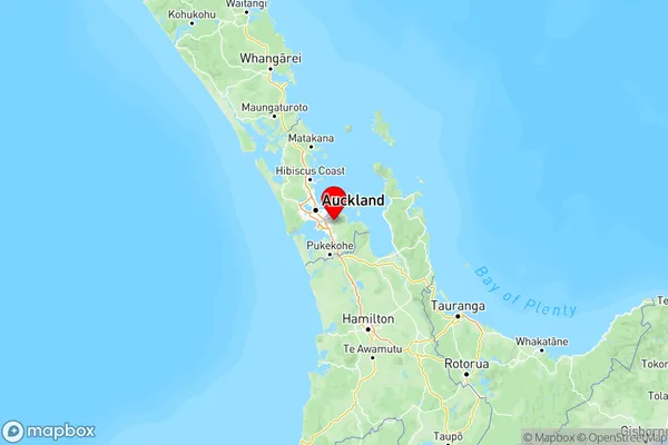
Whitford, Auckland, North Island, New ZealandWhitford Coordinates
-36.948559,174.944318 (Latitude / Longitude)Whitford Map in NZ
NZ Island
North IslandCountry
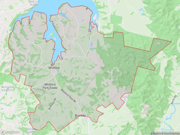
Whitford Area Map (Polygon)
Name
WhitfordAdditional Name
Ormiston, Turanga, WairereLocal Authority
Auckland
Whitford Suburbs (Sort by Population)
Whitford
Whitford - 2456