Whitford Area, Whitford Postcode(2571) & Map in Whitford
Whitford Area, Whitford Postcode(2571) & Map in Whitford, Auckland, New Zealand
Whitford, Auckland, New Zealand
Whitford Area (estimated)
55.1 square kilometersWhitford Population (estimated)
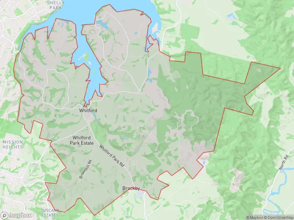
2456 people live in Whitford, Franklin, NZWhitford Suburb Area Map (Polygon)
Whitford Introduction
Whitford is a suburb in Auckland, New Zealand, and is located in the Waitakere City Council area. It is a western suburb and is part of the Auckland metropolitan area. The suburb has a population of around 20,000 people and is known for its lush green parks and recreational facilities. It is also home to a number of major businesses and industries, including the Whitford Industrial Estate.Region
Major City
Suburb Name
WhitfordOther Name(s)
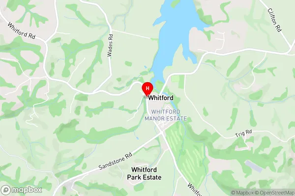
Ormiston, Turanga, WairereWhitford Area Map (Street)
Local Authority
AucklandFull Address
Whitford, Auckland, New ZealandAddress Type
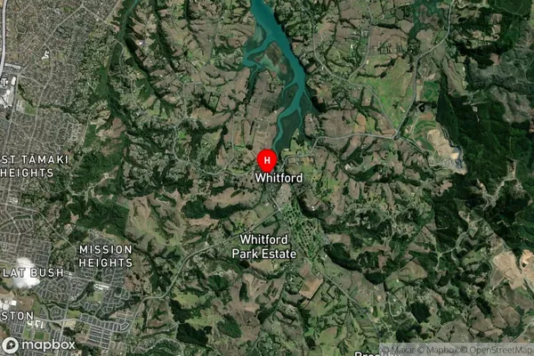
Locality in Town WhitfordWhitford Suburb Map (Satellite)
Country
Main Region in AU
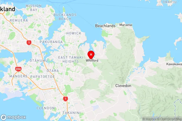
AucklandWhitford Region Map
Coordinates
-36.9454682,174.9637778 (latitude/longitude)Distances
The distance from Whitford, Whitford, Auckland to NZ Top 10 Cities