Papatoetoe Suburbs & Region, Papatoetoe Map & Postcodes in Papatoetoe, South Auckland, Auckland, North Island, New Zealand
Papatoetoe Postcodes, Papatoetoe ZipCodes, Papatoetoe , Papatoetoe Auckland, Papatoetoe Suburbs, Papatoetoe Region, Papatoetoe Map, Papatoetoe Area
Papatoetoe Region (Mangere South, Puhinui Region)
Papatoetoe Suburbs
Papatoetoe is a suburb place type in South Auckland, Auckland, North Island, New Zealand, NZ. It contains 0 suburbs or localities.Papatoetoe district
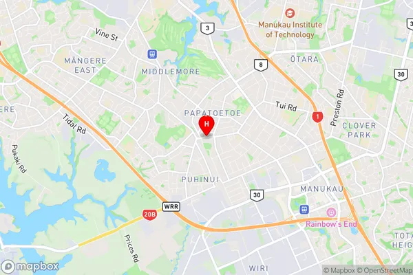
South AucklandPapatoetoe Region Map

Papatoetoe Introduction
Papatoetoe is a suburb of Auckland, New Zealand, located in the southern part of the city. It is known for its diverse population and vibrant community. The suburb has a mix of residential areas, commercial spaces, and recreational facilities, including parks, libraries, and sports clubs. Papatoetoe is also home to several important landmarks, such as the Papatoetoe District Library and the Papatoetoe Sports Complex. The area has a strong sense of community spirit and is known for its annual festivals and events, such as the Papatoetoe Market Day and the Papatoetoe Festival of Lights.Papatoetoe Region
Papatoetoe City
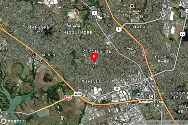
Papatoetoe Satellite Map

Full Address
Papatoetoe, South Auckland, Auckland, North Island, New ZealandPapatoetoe Coordinates
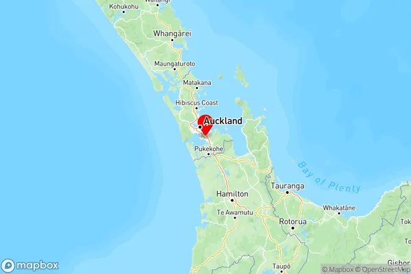
-36.979687,174.852589 (Latitude / Longitude)Papatoetoe Map in NZ

NZ Island
North IslandCountry
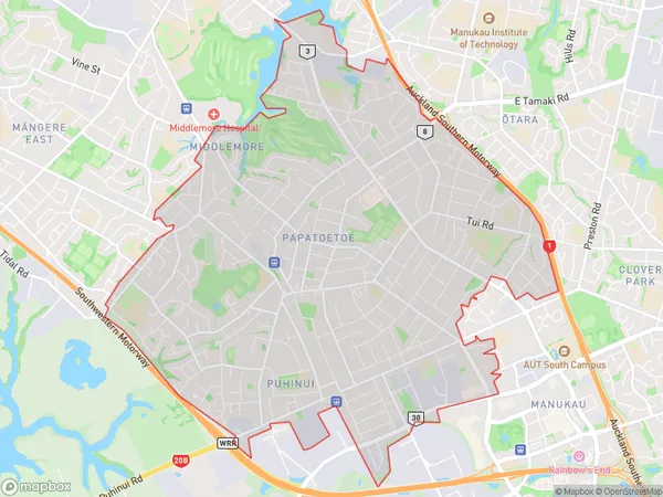
Papatoetoe Area Map (Polygon)

Name
PapatoetoeAdditional Name
Mangere South, PuhinuiLocal Authority
Auckland
Papatoetoe Suburbs (Sort by Population)
Papatoetoe also known as Mangere South, Puhinui. Papatoetoe suburb has around
14.1 square
kilometers.There are more than 50804 people (estimated)
live in Papatoetoe, Ōtara-Papatoetoe, Auckland, New Zealand.