Papatoetoe Area, Papatoetoe Postcode(2025) & Map in Papatoetoe
Papatoetoe Area, Papatoetoe Postcode(2025) & Map in Papatoetoe, Auckland, New Zealand
Papatoetoe, Auckland, New Zealand
Papatoetoe Area (estimated)
14.1 square kilometersPapatoetoe Population (estimated)
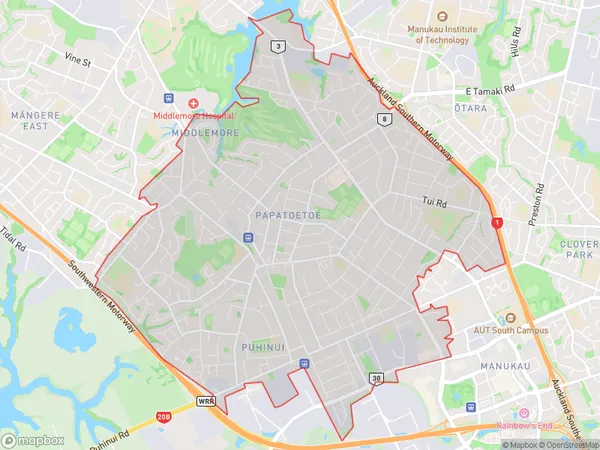
50804 people live in Papatoetoe, Ōtara-Papatoetoe, NZPapatoetoe Suburb Area Map (Polygon)
Papatoetoe Introduction
Papatoetoe is a suburb in Auckland, New Zealand, with a population of around 11,000 people. It is located in the eastern part of the city and is known for its diverse community and affordable housing. The suburb has a number of parks and recreational facilities, including a golf course and a community center. It is also home to a large shopping center and a variety of retail stores.Region
Major City
Suburb Name
PapatoetoeOther Name(s)
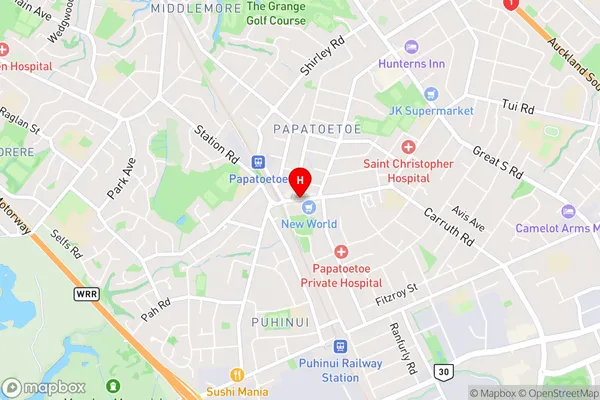
Mangere South, PuhinuiPapatoetoe Area Map (Street)
Local Authority
AucklandFull Address
Papatoetoe, Auckland, New ZealandAddress Type
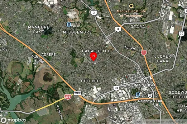
Suburb in City AucklandPapatoetoe Suburb Map (Satellite)
Country
Main Region in AU
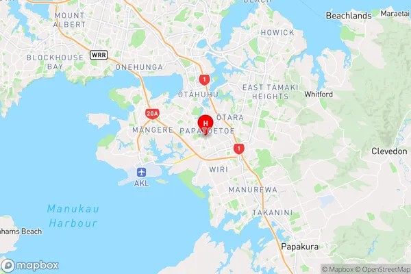
AucklandPapatoetoe Region Map
Coordinates
-36.9796873,174.852589 (latitude/longitude)Distances
The distance from Papatoetoe, Auckland, Auckland to NZ Top 10 Cities