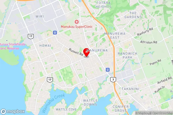
Manurewa Suburbs & Region, Manurewa Map & Postcodes in Manurewa, South Auckland, Auckland, North Island, New Zealand
Manurewa Postcodes, Manurewa ZipCodes, Manurewa , Manurewa Auckland, Manurewa Suburbs, Manurewa Region, Manurewa Map, Manurewa Area
Manurewa Region (Homai Region)
Manurewa Suburbs
Manurewa is a suburb place type in South Auckland, Auckland, North Island, New Zealand, NZ. It contains 0 suburbs or localities.Manurewa Postcodes
Manurewa district
South AucklandManurewa Region Map

Manurewa Introduction
Manurewa is a suburb of Auckland, New Zealand, with a population of around 70,000 people. It is located in the southern part of the city and is known for its diverse culture and vibrant community. The suburb has a rich history, with many of its residents being of Samoan, Indian, and Pacific Island descent. It is home to a number of important landmarks, including the Manurewa War Memorial Park, which commemorates the battles of World War II, and the South Auckland Sports Facility, which is a major sporting and entertainment venue. Manurewa also has a number of shopping centers, schools, and healthcare facilities, making it a convenient and accessible place to live.Manurewa Region
Manurewa City
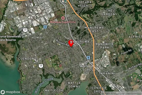
Manurewa Satellite Map

Full Address
Manurewa, South Auckland, Auckland, North Island, New ZealandManurewa Coordinates
-37.0253471,174.8934791 (Latitude / Longitude)Manurewa Map in NZ

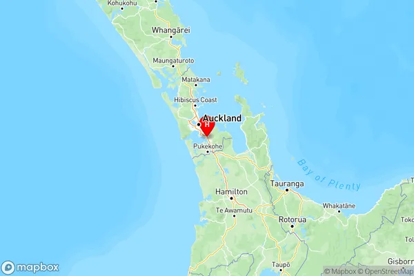
NZ Island
North IslandCountry
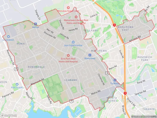
Manurewa Area Map (Polygon)

Name
ManurewaAdditional Name
HomaiLocal Authority
Auckland
Manurewa Suburbs (Sort by Population)
Manurewa also known as Homai. Manurewa suburb has around
-1.2 square
kilometers.There are more than 41431 people (estimated)
live in Manurewa, Manurewa, Auckland, New Zealand.