Manurewa Area, Manurewa Postcode(2102) & Map in Manurewa
Manurewa Area, Manurewa Postcode(2102) & Map in Manurewa, Auckland, New Zealand
Manurewa, Auckland, New Zealand
Manurewa Postcodes
Manurewa Area (estimated)
-1.2 square kilometersManurewa Population (estimated)
41431 people live in Manurewa, Manurewa, NZManurewa Suburb Area Map (Polygon)
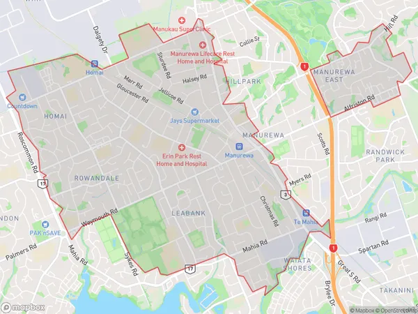
Manurewa Introduction
Manurewa is a suburb of Auckland, New Zealand, with a population of around 50,000 people. It is located in the southern part of the city and is known for its diverse culture and vibrant community. The suburb has a number of historic landmarks, including the Manurewa War Memorial Library and the South Auckland Museum. It is also home to a large number of ethnic communities, including Samoans, Tongans, and Indians, and is known for its delicious and affordable food.Region
Major City
Suburb Name
ManurewaOther Name(s)
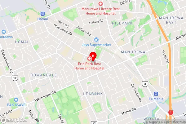
HomaiManurewa Area Map (Street)
Local Authority
AucklandFull Address
Manurewa, Auckland, New ZealandAddress Type
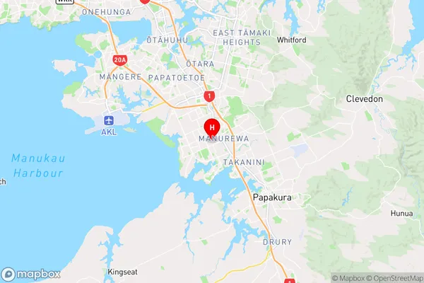
Suburb in City AucklandManurewa Suburb Map (Satellite)

Country
Main Region in AU
AucklandManurewa Region Map
Coordinates
-37.0241501,174.88865968963 (latitude/longitude)Distances
The distance from Manurewa, Auckland, Auckland to NZ Top 10 Cities