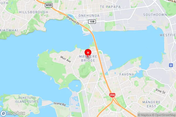
Mangere Bridge Suburbs & Region, Mangere Bridge Map & Postcodes in Mangere Bridge, South Auckland, Auckland, North Island, New Zealand
Mangere Bridge Postcodes, Mangere Bridge ZipCodes, Mangere Bridge , Mangere Bridge Auckland, Mangere Bridge Suburbs, Mangere Bridge Region, Mangere Bridge Map, Mangere Bridge Area
Mangere Bridge Region (Mangere Central Region)
Mangere Bridge Suburbs
Mangere Bridge is a suburb place type in South Auckland, Auckland, North Island, New Zealand, NZ. It contains 0 suburbs or localities.Mangere Bridge Postcodes
Mangere Bridge district
South AucklandMangere Bridge Region Map

Mangere Bridge Introduction
Mangere Bridge is a concrete box girder bridge in Auckland, New Zealand, connecting the Manukau Harbour to the Auckland Airport. It was completed in 1978 and is 2.7 kilometers long. The bridge has a maximum width of 36 meters and carries both road and rail traffic. It is an important transport link in the Auckland region, carrying over 100,000 vehicles per day. The bridge also has a pedestrian walkway and a cycle path.Mangere Bridge Region
Mangere Bridge City
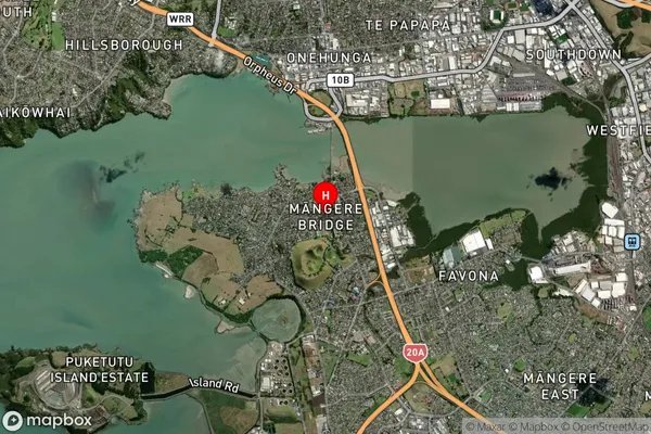
Mangere Bridge Satellite Map

Full Address
Mangere Bridge, South Auckland, Auckland, North Island, New ZealandMangere Bridge Coordinates
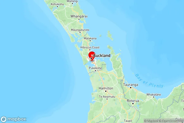
-36.943904,174.785241 (Latitude / Longitude)Mangere Bridge Map in NZ

NZ Island
North IslandCountry
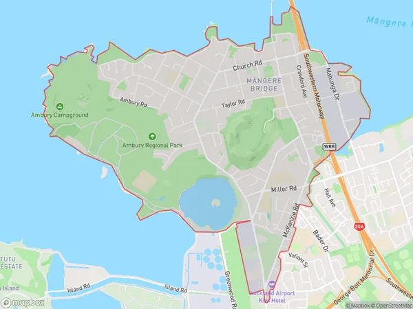
Mangere Bridge Area Map (Polygon)

Name
Mangere BridgeAdditional Name
Mangere CentralLocal Authority
Auckland
Mangere Bridge Suburbs (Sort by Population)
Mangere Bridge also known as Mangere Central. Mangere Bridge suburb has around
8.4 square
kilometers.There are more than 12067 people (estimated)
live in Mangere Bridge, Māngere-Ōtāhuhu, Auckland, New Zealand.