Mangere Bridge Area, Mangere Bridge Postcode(2151) & Map in Mangere Bridge
Mangere Bridge Area, Mangere Bridge Postcode(2151) & Map in Mangere Bridge, Auckland, New Zealand
Mangere Bridge, Auckland, New Zealand
Mangere Bridge Area (estimated)
8.4 square kilometersMangere Bridge Population (estimated)
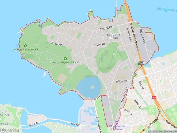
12067 people live in Mangere Bridge, Māngere-Ōtāhuhu, NZMangere Bridge Suburb Area Map (Polygon)

Mangere Bridge Introduction
Mangere Bridge is a concrete box girder bridge in Auckland, New Zealand, connecting the Manukau Harbour to the Auckland Airport. It was completed in 1978 and has a length of 2,743 meters. The bridge carries both road and rail traffic and is an important transportation link in the region.Region
Major City
Suburb Name
Mangere Bridge (Maori Name: Māngere Bridge)Other Name(s)
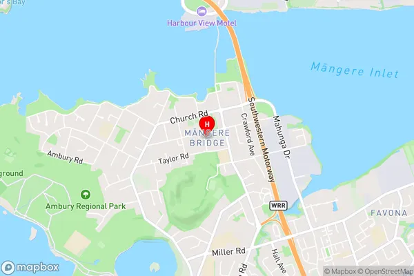
Mangere CentralMangere Bridge Area Map (Street)

Local Authority
AucklandFull Address
Mangere Bridge, Auckland, New ZealandAddress Type
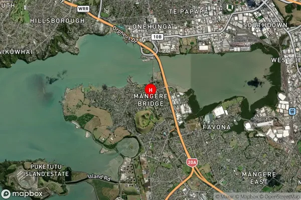
Suburb in City AucklandMangere Bridge Suburb Map (Satellite)

Country
Main Region in AU
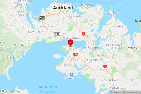
AucklandMangere Bridge Region Map

Coordinates
-36.9439039,174.7852413 (latitude/longitude)Distances
The distance from Mangere Bridge, Auckland, Auckland to NZ Top 10 Cities