Mangere Suburbs & Region, Mangere Map & Postcodes in Mangere, South Auckland, Auckland, North Island, New Zealand
Mangere Postcodes, Mangere ZipCodes, Mangere , Mangere Auckland, Mangere Suburbs, Mangere Region, Mangere Map, Mangere Area
Mangere Region (Airport Oaks, Ihumatao, Mangere South Region)
Mangere Suburbs
Mangere is a suburb place type in South Auckland, Auckland, North Island, New Zealand, NZ. It contains 0 suburbs or localities.Mangere district
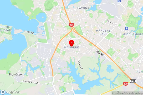
South AucklandMangere Region Map

Mangere Introduction
Mangere is a suburb of Auckland, New Zealand, with a population of around 20,000 people. It is located in the southern part of the city and is known for its diverse community and vibrant culture. The suburb has a rich history, with many of its residents being of Pacific Islander descent. Mangere has a number of popular landmarks, including the Mangere Bridge, which connects it to the Auckland CBD, and the Mangere Arts Centre, which hosts a variety of cultural events and exhibitions. The area is also home to a number of parks and recreational facilities, including Mangere Mountain Reserve and Mangere Pool.Mangere Region
Mangere City
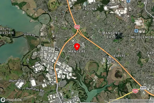
Mangere Satellite Map

Full Address
Mangere, South Auckland, Auckland, North Island, New ZealandMangere Coordinates
-36.974106,174.79944 (Latitude / Longitude)Mangere Map in NZ

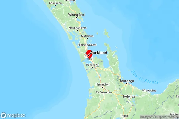
NZ Island
North IslandCountry
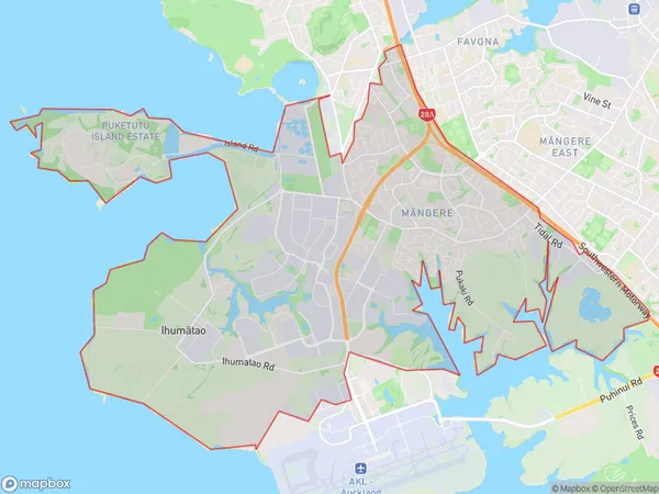
Mangere Area Map (Polygon)

Name
MangereAdditional Name
Airport Oaks, Ihumatao, Mangere SouthLocal Authority
Auckland
Mangere Suburbs (Sort by Population)
Mangere also known as Airport Oaks, Ihumatao, Mangere South. Mangere suburb has around
30.9 square
kilometers.There are more than 23250 people (estimated)
live in Mangere, Māngere-Ōtāhuhu, Auckland, New Zealand.