Mangere Area, Mangere Postcode(2153) & Map in Mangere
Mangere Area, Mangere Postcode(2153) & Map in Mangere, Auckland, New Zealand
Mangere, Auckland, New Zealand
Mangere Area (estimated)
30.9 square kilometersMangere Population (estimated)
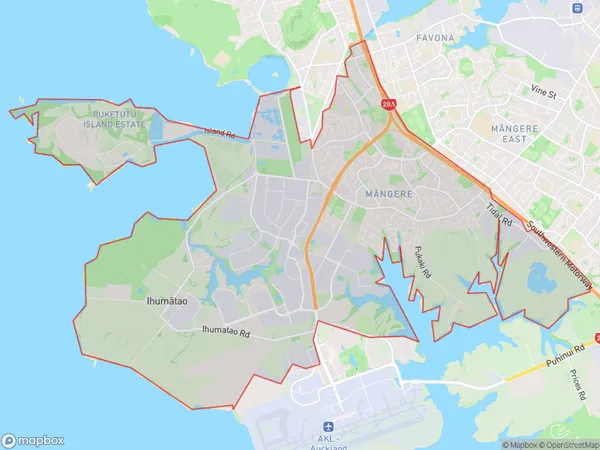
23250 people live in Mangere, Māngere-Ōtāhuhu, NZMangere Suburb Area Map (Polygon)
Mangere Introduction
Mangere is a suburb of Auckland, New Zealand, with a population of around 16,000 people. It is known for its diverse culture and vibrant community, with a mix of Pacific Island, Asian, and European heritage. The suburb has a number of parks and recreational facilities, including Mangere Mountain, which offers stunning views of the city and surrounding area. Mangere also has a large shopping center, a library, and a medical center.Region
Major City
Suburb Name
Mangere (Maori Name: Māngere)Other Name(s)
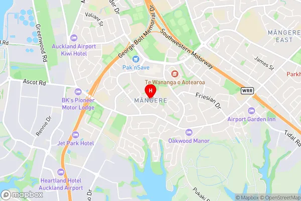
Airport Oaks, Ihumatao, Mangere SouthMangere Area Map (Street)
Local Authority
AucklandFull Address
Mangere, Auckland, New ZealandAddress Type
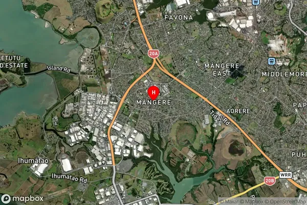
Suburb in City AucklandMangere Suburb Map (Satellite)
Country
Main Region in AU
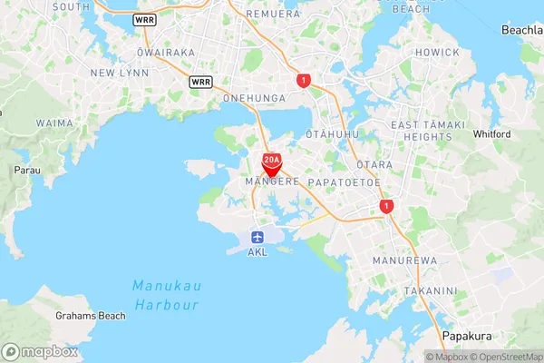
AucklandMangere Region Map
Coordinates
-36.9741065,174.7994402 (latitude/longitude)Distances
The distance from Mangere, Auckland, Auckland to NZ Top 10 Cities