Omarama Suburbs & Region, Omarama Map & Postcodes in Omarama, Otematata, Canterbury
Omarama Postcodes, Omarama ZipCodes, Omarama , Omarama Canterbury, Omarama Suburbs, Omarama Region, Omarama Map, Omarama Area
Omarama Region (Clearburn Region)
Omarama Suburbs
Omarama is a suburb place type in Otematata, Canterbury, NZ. It contains 5 suburbs or localities.Omarama Postcodes
Omarama Introduction
Omarama is a small town in the Canterbury region of New Zealand, located on the Omarama River. It is known for its scenic beauty, including the Omarama Clay Cliffs and the Omarama Desert. The town has a population of around 500 people and is a popular destination for outdoor activities such as hiking, mountain biking, and fishing. It is also home to the Omarama Hot Springs, which are a popular attraction for tourists.Omarama Region
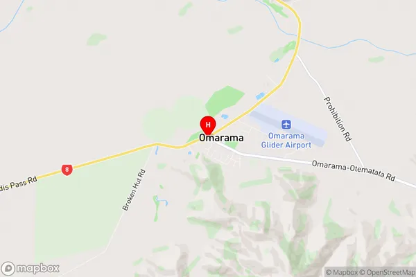
Omarama City
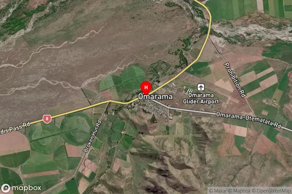
Omarama Satellite Map

Full Address
Omarama, Otematata, CanterburyOmarama Coordinates
-44.487876,169.965597 (Latitude / Longitude)Omarama Map in NZ

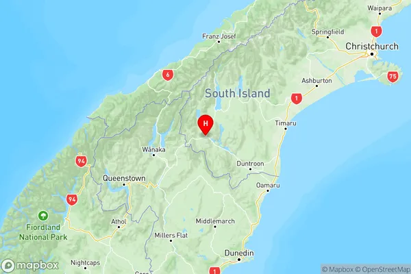
NZ Island
South IslandCountry
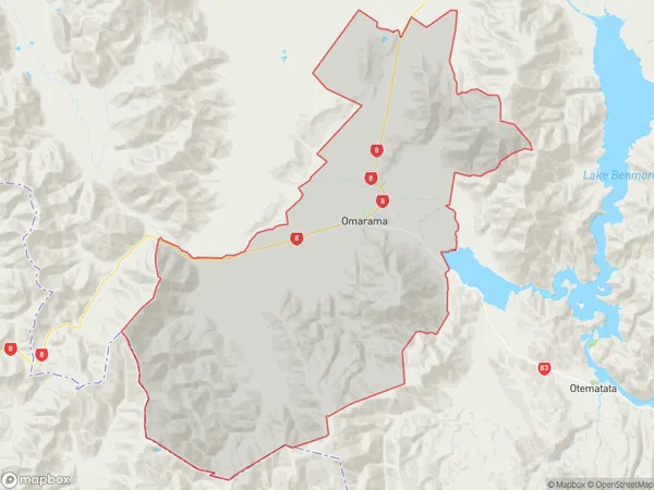
Omarama Area Map (Polygon)

Name
OmaramaAdditional Name
ClearburnLocal Authority
Waitaki District
