St Andrews Suburbs & Region, St Andrews Map & Postcodes in St Andrews, Canterbury
St Andrews Postcodes, St Andrews ZipCodes, St Andrews , St Andrews Canterbury, St Andrews Suburbs, St Andrews Region, St Andrews Map, St Andrews Area
St Andrews Region (Pukete Industrial, Saint Andrews, Te Rapa Straight Region)
St Andrews Suburbs
St Andrews is a city place type in Canterbury, NZ. It contains 1 suburbs or localities.St Andrews Postcodes
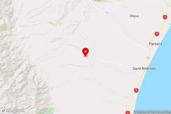
St Andrews Region Map
St Andrews Introduction
St Andrews is a suburb of Christchurch, New Zealand, located in the eastern suburbs of the city. It is known for its historic church, St Andrews Presbyterian Church, and its picturesque beach. The suburb is also home to a variety of shops and restaurants, as well as a golf course and a bowling club. St Andrews is a popular destination for tourists and locals alike, with its beautiful scenery and relaxed atmosphere.St Andrews Region
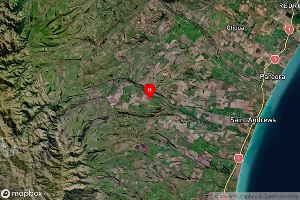
St Andrews Satellite Map
Full Address
St Andrews, CanterburySt Andrews Coordinates
-44.509736,171.044719 (Latitude / Longitude)St Andrews Map in NZ
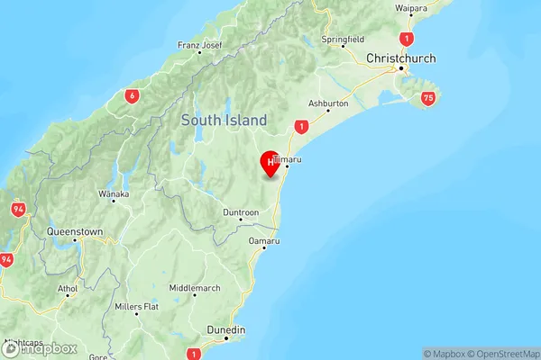
NZ Island
South IslandCountry
St Andrews Area Map (Polygon)
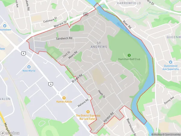
Name
St AndrewsAdditional Name
Pukete Industrial, Saint Andrews, Te Rapa StraightLocal Authority
Hamilton City
St Andrews Suburbs (Sort by Population)
St Andrews also known as Pukete Industrial, Saint Andrews, Te Rapa Straight. St Andrews suburb has around
3.4 square
kilometers.There are more than 5787 people (estimated)
live in St Andrews, Hamilton, Waikato, New Zealand.
St Andrews Suburbs (Sort in alphabetical)
Esk Valley