St Andrews Area, St Andrews Postcode(3200) & Map in St Andrews
St Andrews Area, St Andrews Postcode(3200) & Map in St Andrews, Hamilton City, New Zealand
St Andrews, Hamilton City, New Zealand
St Andrews Area (estimated)
3.4 square kilometersSt Andrews Population (estimated)
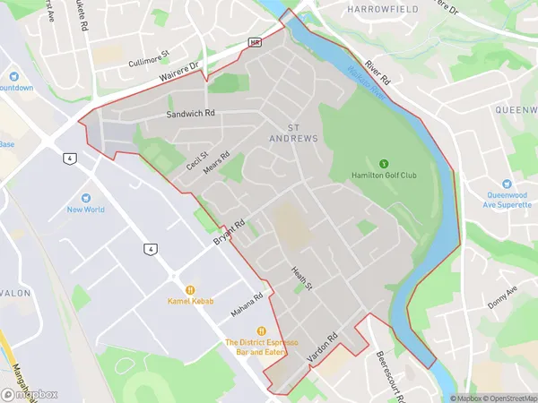
5787 people live in St Andrews, Hamilton, NZSt Andrews Suburb Area Map (Polygon)
St Andrews Introduction
St Andrews is a small town in Hamilton, Waikato, New Zealand. It is well-known for its beautiful beaches, historic buildings, and vibrant community. The town has a population of around 3,000 people and is located about 45 minutes south of Hamilton City. St Andrews has a rich history, with many of its buildings dating back to the 19th century. The town is also home to a popular golf course, which attracts visitors from all over New Zealand.Region
Major City
Suburb Name
St AndrewsOther Name(s)
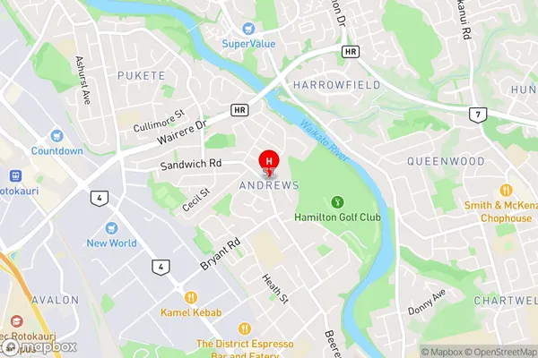
Pukete Industrial, Saint Andrews, Te Rapa StraightSt Andrews Area Map (Street)
Local Authority
Hamilton CityFull Address
St Andrews, Hamilton City, New ZealandAddress Type
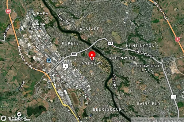
Suburb in City HamiltonSt Andrews Suburb Map (Satellite)
Country
Main Region in AU
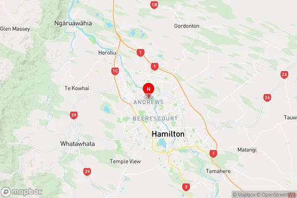
WaikatoSt Andrews Region Map
Coordinates
-37.7495717,175.2547772 (latitude/longitude)Distances
The distance from St Andrews, Hamilton, Hamilton City to NZ Top 10 Cities