Rakaia Suburbs & Region, Rakaia Map & Postcodes in Rakaia, Canterbury
Rakaia Postcodes, Rakaia ZipCodes, Rakaia , Rakaia Canterbury, Rakaia Suburbs, Rakaia Region, Rakaia Map, Rakaia Area
Rakaia Region (Overdale Region)
Rakaia Suburbs
Rakaia is a city place type in Canterbury, NZ. It contains 0 suburbs or localities.Rakaia Postcodes
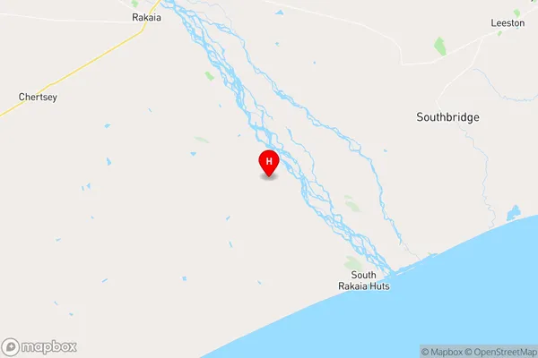
Rakaia Region Map
Rakaia Introduction
Rakaia is a small town in Canterbury, New Zealand, located on the banks of the Rakaia River. It is known for its rural charm, scenic surroundings, and strong agricultural community. The town has a population of around 3,000 people and is home to a variety of businesses, including a supermarket, a hotel, and a dairy factory. Rakaia is also a popular destination for outdoor enthusiasts, with nearby parks and trails offering opportunities for hiking, biking, and fishing. The town is located approximately 30 minutes from Christchurch and is served by a regular bus service.Rakaia Region
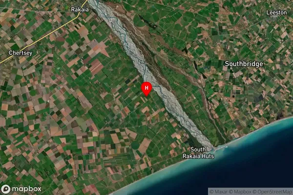
Rakaia Satellite Map
Full Address
Rakaia, CanterburyRakaia Coordinates
-43.846217,172.117453 (Latitude / Longitude)Rakaia Map in NZ
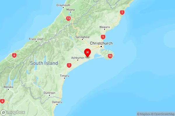
NZ Island
South IslandCountry
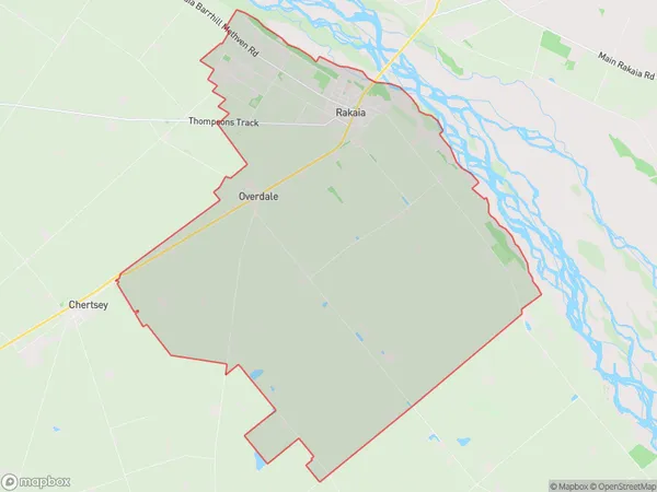
Rakaia Area Map (Polygon)
Name
RakaiaAdditional Name
OverdaleLocal Authority
Ashburton District
Rakaia Suburbs (Sort by Population)
Rakaia also known as Overdale. Rakaia suburb has around
81.3 square
kilometers.There are more than 1719 people (estimated)
live in Rakaia, Rakaia, Canterbury, New Zealand.