Rakaia Area, Rakaia Postcode(7710) & Map in Rakaia
Rakaia Area, Rakaia Postcode(7710) & Map in Rakaia, Ashburton District, New Zealand
Rakaia, Ashburton District, New Zealand
Rakaia Area (estimated)
81.3 square kilometersRakaia Population (estimated)
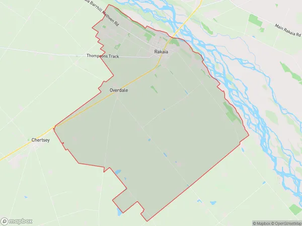
1719 people live in Rakaia, Canterbury, NZRakaia Suburb Area Map (Polygon)
Rakaia Introduction
Rakaia is a small town in Canterbury, New Zealand, located on the banks of the Rakaia River. It is known for its rural charm, scenic surroundings, and agricultural industry. The town has a population of around 3,000 people and is a popular destination for outdoor enthusiasts, with nearby forests, rivers, and lakes for hiking, fishing, and kayaking. Rakaia also has a historic railway station and a variety of local shops and cafes.Region
Major City
Suburb Name
RakaiaOther Name(s)
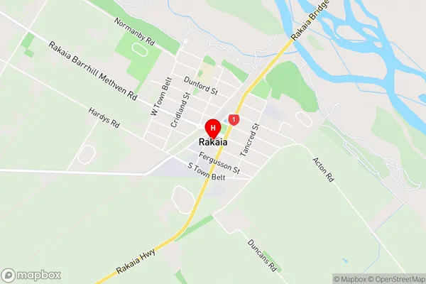
OverdaleRakaia Area Map (Street)
Local Authority
Ashburton DistrictFull Address
Rakaia, Ashburton District, New ZealandAddress Type
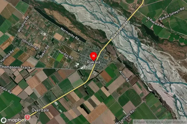
Suburb in Town RakaiaRakaia Suburb Map (Satellite)
Country
Main Region in AU
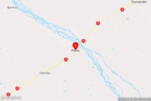
CanterburyRakaia Region Map
Coordinates
-43.7566951,172.0236842 (latitude/longitude)Distances
The distance from Rakaia, Rakaia, Ashburton District to NZ Top 10 Cities