Cave Suburbs & Region, Cave Map & Postcodes in Cave, Canterbury
Cave Postcodes, Cave ZipCodes, Cave , Cave Canterbury, Cave Suburbs, Cave Region, Cave Map, Cave Area
Cave Region (Cannington Region)
Cave Suburbs
Cave is a city place type in Canterbury, NZ. It contains 2 suburbs or localities.Cave Postcodes
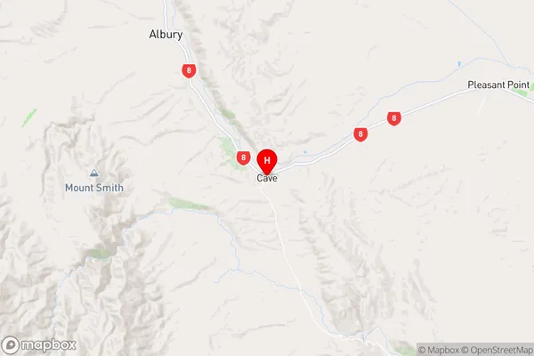
Cave Region Map
Cave Introduction
Cave is a small rural community in the Canterbury region of New Zealand. It is located in the Ashburton District, approximately 10 kilometers south of Ashburton town. The community is known for its scenic surroundings, including the Cave Stream and the surrounding hills. Cave has a population of around 50 people and is home to a variety of businesses, including a dairy farm, a convenience store, and a post office. The community is also home to a number of historic buildings, including the Cave Hotel, which was built in the 1880s.Cave Region
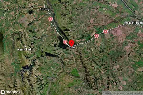
Cave Satellite Map
Full Address
Cave, CanterburyCave Coordinates
-44.311247,170.950967 (Latitude / Longitude)Cave Map in NZ
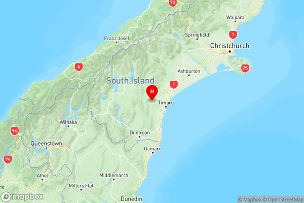
NZ Island
South IslandCountry
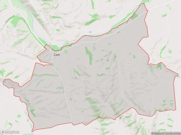
Cave Area Map (Polygon)
Name
CaveAdditional Name
CanningtonLocal Authority
Timaru District