Cave Area, Cave Postcode(7957) & Map in Cave
Cave Area, Cave Postcode(7957) & Map in Cave, Timaru District, New Zealand
Cave, Timaru District, New Zealand
Cave Postcodes
Cave Area (estimated)
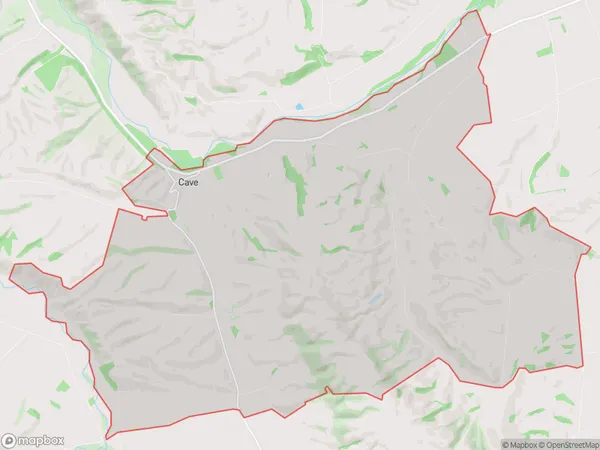
67.3 square kilometersCave Population (estimated)
209 people live in Cave, Canterbury, NZCave Suburb Area Map (Polygon)
Cave Introduction
Cave is a small rural community in the Canterbury region of New Zealand. It is located on the banks of the Hurunui River, approximately 10 kilometers south of Kaiapoi. The community has a population of around 50 people and is known for its scenic surroundings and peaceful atmosphere. Cave has a primary school, a post office, and a small store. The area is popular with outdoor enthusiasts, with many walking and hiking tracks in the surrounding area. The community also has a rich history, with several historic buildings and sites located nearby.Region
Major City
Suburb Name
CaveOther Name(s)
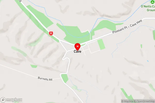
CanningtonCave Area Map (Street)
Local Authority
Timaru DistrictFull Address
Cave, Timaru District, New ZealandAddress Type
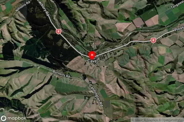
Locality in Major Locality CaveCave Suburb Map (Satellite)
Country
Main Region in AU
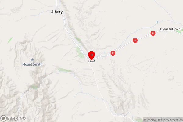
CanterburyCave Region Map
Coordinates
-44.3112471,170.9509668 (latitude/longitude)Distances
The distance from Cave, Cave, Timaru District to NZ Top 10 Cities