Utiku Suburbs & Region, Utiku Map & Postcodes in Utiku, Taihape, Manawatu-Wanganui
Utiku Postcodes, Utiku ZipCodes, Utiku , Utiku Manawatu-Wanganui, Utiku Suburbs, Utiku Region, Utiku Map, Utiku Area
Utiku Region
Utiku Suburbs
Utiku is a suburb place type in Taihape, Manawatu-Wanganui, NZ. It contains 0 suburbs or localities.Utiku Postcodes
Utiku Region Map
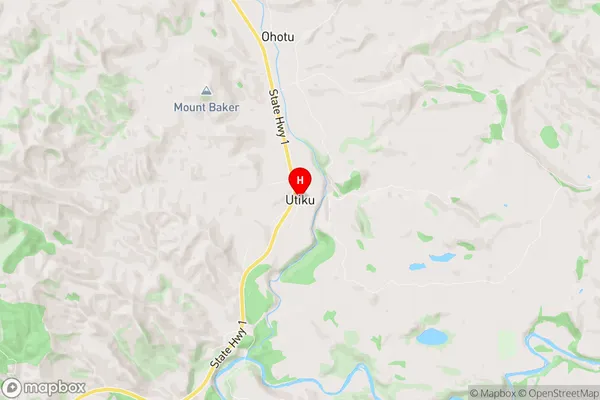
Utiku Introduction
Utiku is a small rural community located in the Manawatu-Wanganui region of New Zealand. It is situated on the banks of the Ruahine River, approximately 10 kilometers south of Palmerston North. The community has a population of around 100 people and is known for its scenic surroundings and peaceful atmosphere. The area is popular with outdoor enthusiasts, with many opportunities for hiking, cycling, and fishing. There is also a local school and a community hall, which hosts regular events and gatherings. Utiku is a charming and welcoming community that offers a taste of rural life in New Zealand.Utiku Region
Utiku City
Utiku Satellite Map

Full Address
Utiku, Taihape, Manawatu-WanganuiUtiku Coordinates
-39.733303,175.844888 (Latitude / Longitude)Utiku Map in NZ
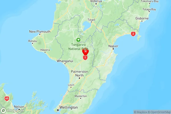
NZ Island
North IslandCountry
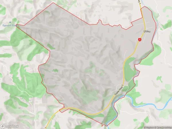
Utiku Area Map (Polygon)
Name
UtikuAdditional Name
Local Authority
Rangitikei District
Utiku Suburbs (Sort by Population)
Utiku suburb has around
15.1 square
kilometers.There are more than 81 people (estimated)
live in Utiku, Taihape, Manawatu-Wanganui, New Zealand.