Utiku Area, Utiku Postcode(4794) & Map in Utiku
Utiku Area, Utiku Postcode(4794) & Map in Utiku, Rangitikei District,
Utiku, Rangitikei District,
Utiku Postcodes
Utiku Area (estimated)
15.1 square kilometersUtiku Population (estimated)
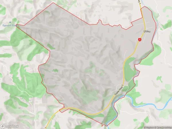
81 people live in Utiku, Taihape, NZUtiku Suburb Area Map (Polygon)
Utiku Introduction
Utiku is a small rural town located in Taihape, Manawatu-Wanganui, New Zealand. It is known for its historic stone buildings and scenic surroundings, including the Utiku Gorge and the Taipo River. The town has a population of around 1,000 people and is a popular destination for outdoor activities such as hiking, cycling, and fishing.Region
Major City
Suburb Name
UtikuUtiku Area Map (Street)
Local Authority
Rangitikei DistrictFull Address
Utiku, Rangitikei District,Address Type
Suburb in Town TaihapeUtiku Suburb Map (Satellite)
Country
Main Region in AU
Manawatu-WanganuiUtiku Region Map
Coordinates
0,0 (latitude/longitude)Distances
The distance from Utiku, Taihape, Rangitikei District to NZ Top 10 Cities