Raetihi Suburbs & Region, Raetihi Map & Postcodes in Raetihi, Manawatu-Wanganui
Raetihi Postcodes, Raetihi ZipCodes, Raetihi , Raetihi Manawatu-Wanganui, Raetihi Suburbs, Raetihi Region, Raetihi Map, Raetihi Area
Raetihi Region
Raetihi Suburbs
Raetihi is a city place type in Manawatu-Wanganui, NZ. It contains 5 suburbs or localities.Raetihi Postcodes
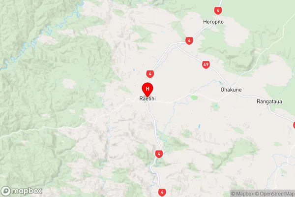
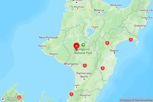
Raetihi Region Map
Raetihi Introduction
Raetihi is a small town in the Manawatu-Wanganui region of New Zealand. It is situated on the banks of the Raetihi River and is known for its beautiful natural surroundings, including forests, rivers, and waterfalls. The town has a population of around 5,000 people and is a popular destination for outdoor activities such as hiking, fishing, and cycling. Raetihi also has a historic village with a number of colonial-era buildings, including the Raetihi Museum, which houses a collection of local artifacts and memorabilia. The town is located approximately 120 kilometers north of Palmerston North and 200 kilometers south of Wellington.Raetihi Region
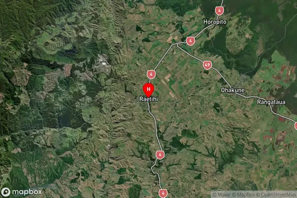
Raetihi Satellite Map
Full Address
Raetihi, Manawatu-WanganuiRaetihi Coordinates
-39.426495,175.28288 (Latitude / Longitude)Raetihi Map in NZ
NZ Island
North IslandCountry
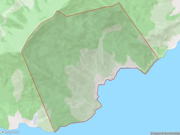
Raetihi Area Map (Polygon)
Name
RaetihiAdditional Name
Local Authority
Marlborough District
Raetihi Suburbs (Sort by Population)
Horopito
Horopito - 100Tohunga Junction
Tohunga Junction - 70Ruatiti
Ruatiti - 39Orautoha
Orautoha - 25Parinui
Parinui - 3