Orautoha Area, Orautoha Postcode & Map in Orautoha
Orautoha Area, Orautoha Postcode & Map in Orautoha, Ruapehu District, New Zealand
Orautoha, Ruapehu District, New Zealand
Orautoha Area (estimated)
88.0 square kilometersOrautoha Population (estimated)
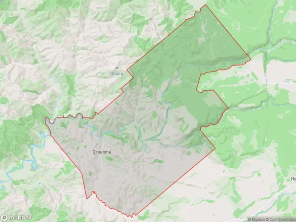
25 people live in Orautoha, Manawatu-Wanganui, NZOrautoha Suburb Area Map (Polygon)
Orautoha Introduction
Orautoha is a small rural community located in the Raetihi district of Manawatu-Wanganui, New Zealand. It is situated on the banks of the Orautoha River and is known for its scenic surroundings and peaceful atmosphere. The community has a population of around 50 people and is home to a primary school, a church, and a few small businesses.Region
Major City
Suburb Name
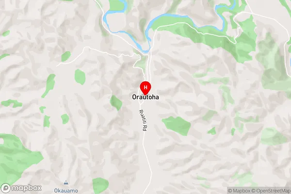
OrautohaOrautoha Area Map (Street)
Local Authority
Ruapehu DistrictFull Address
Orautoha, Ruapehu District, New ZealandAddress Type
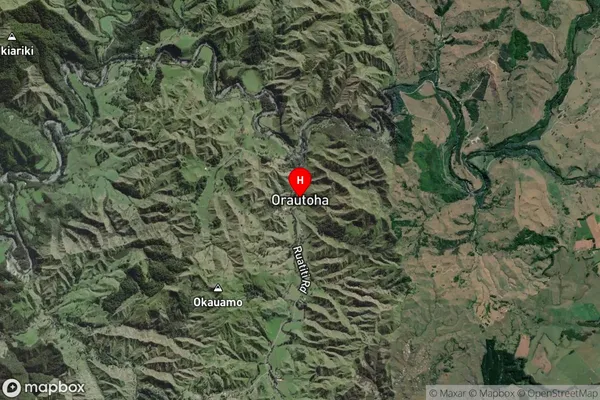
Locality in Town RaetihiOrautoha Suburb Map (Satellite)
Country
Main Region in AU
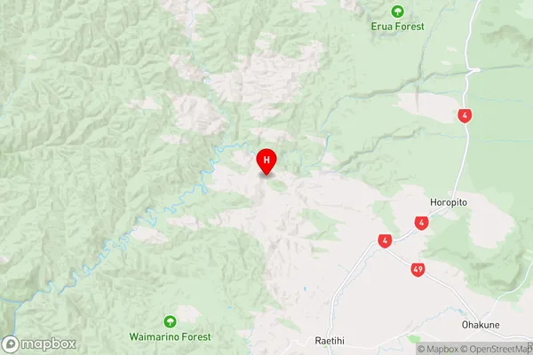
Manawatu-WanganuiOrautoha Region Map
Coordinates
-39.3288699,175.2340794 (latitude/longitude)Distances
The distance from Orautoha, Raetihi, Ruapehu District to NZ Top 10 Cities