Ongarue Suburbs & Region, Ongarue Map & Postcodes in Ongarue, Manawatu-Wanganui
Ongarue Postcodes, Ongarue ZipCodes, Ongarue , Ongarue Manawatu-Wanganui, Ongarue Suburbs, Ongarue Region, Ongarue Map, Ongarue Area
Ongarue Region (Mangakahu Valley, Mangatupoto, Tapuiwahine, Te Koura Region)
Ongarue Suburbs
Ongarue is a city place type in Manawatu-Wanganui, NZ. It contains 1 suburbs or localities.Ongarue Postcodes
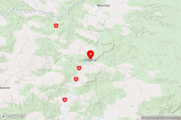
Ongarue Region Map
Ongarue Introduction
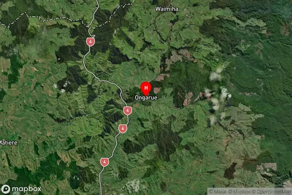
Ongarue is a small town located in the Manawatu-Wanganui region of New Zealand. It is situated on the banks of the Ongarue River, approximately 120 kilometers north of Palmerston North. The town has a population of around 1,000 people and is known for its scenic surroundings, including the Ongarue Forest and the nearby Ruahine Range. The town has a primary school, a post office, a supermarket, and a variety of recreational facilities, including a golf course and a swimming pool. The Ongarue River is a popular spot for fishing and boating, and the town is also home to a number of historic buildings, including the Ongarue Hotel and the Old Church.Ongarue Region
Ongarue Satellite Map
Full Address
Ongarue, Manawatu-WanganuiOngarue Coordinates
-38.715358,175.286262 (Latitude / Longitude)Ongarue Map in NZ
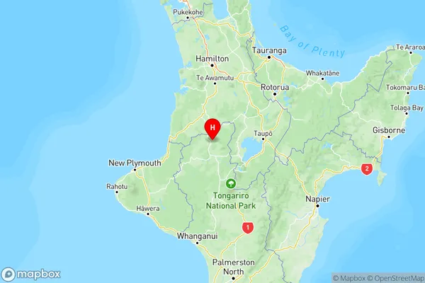
NZ Island
North IslandCountry
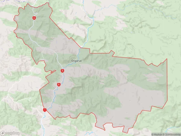
Ongarue Area Map (Polygon)
Name
OngarueAdditional Name
Mangakahu Valley, Mangatupoto, Tapuiwahine, Te KouraLocal Authority
Ruapehu District
Ongarue Suburbs (Sort by Population)
Ongarue
Ongarue - 197