Ongarue Area, Ongarue Postcode(3997) & Map in Ongarue
Ongarue Area, Ongarue Postcode(3997) & Map in Ongarue, Ruapehu District, New Zealand
Ongarue, Ruapehu District, New Zealand
Ongarue Postcodes
Ongarue Area (estimated)
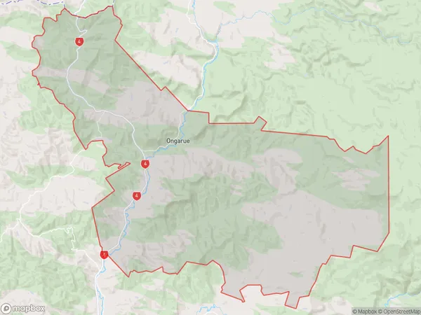
297.6 square kilometersOngarue Population (estimated)
197 people live in Ongarue, Manawatu-Wanganui, NZOngarue Suburb Area Map (Polygon)
Ongarue Introduction
Ongarue is a small town in the Manawatu-Wanganui region of New Zealand. It is situated on the banks of the Ongarue River and is known for its scenic beauty and outdoor activities. The town has a population of around 1,000 people and is surrounded by farmland and native forest. Ongarue is a popular destination for fishing, hiking, and kayaking, and has a number of historic buildings and landmarks.Region
Major City
Suburb Name
OngarueOther Name(s)
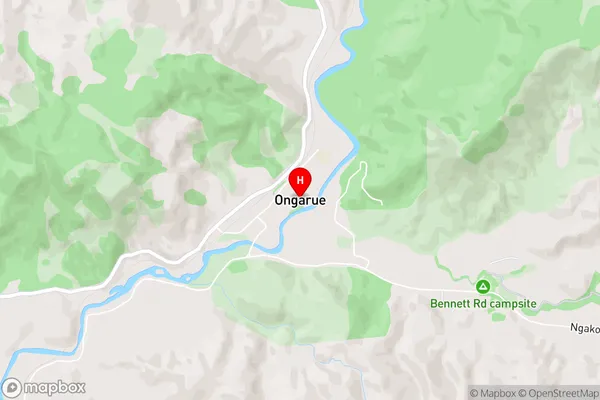
Mangakahu Valley, Mangatupoto, Tapuiwahine, Te KouraOngarue Area Map (Street)
Local Authority
Ruapehu DistrictFull Address
Ongarue, Ruapehu District, New ZealandAddress Type
Suburb in Major Locality OngarueOngarue Suburb Map (Satellite)

Country
Main Region in AU
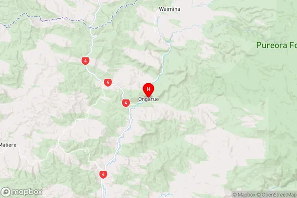
Manawatu-WanganuiOngarue Region Map
Coordinates
-38.7153583,175.2862625 (latitude/longitude)Distances
The distance from Ongarue, Ongarue, Ruapehu District to NZ Top 10 Cities