Otoko Suburbs & Region, Otoko Map & Postcodes in Otoko, Te Karaka, Gisborne
Otoko Postcodes, Otoko ZipCodes, Otoko , Otoko Gisborne, Otoko Suburbs, Otoko Region, Otoko Map, Otoko Area
Otoko Region
Otoko Suburbs
Otoko is a suburb place type in Te Karaka, Gisborne, NZ. It contains 0 suburbs or localities.Otoko Postcodes
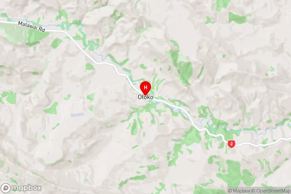
Otoko Region Map
Otoko Introduction
Otoko is a small rural settlement in the Gisborne region of New Zealand. It is located on State Highway 2, approximately 12 km east of Gisborne and 35 km west of Wairoa. The settlement has a population of around 100 people and is known for its scenic surroundings and peaceful atmosphere. The area is popular with tourists and outdoor enthusiasts, who enjoy activities such as hiking, fishing, and hunting. There are also several historic buildings in the settlement, including a church and a school. Otoko is surrounded by farmland and forest, and the nearby Otoko River is a popular spot for swimming and kayaking.Otoko Region
Otoko City
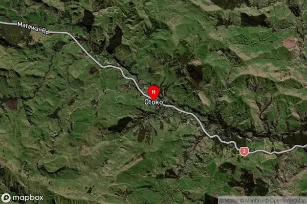
Otoko Satellite Map
Full Address
Otoko, Te Karaka, GisborneOtoko Coordinates
-38.462998,177.649054 (Latitude / Longitude)Otoko Map in NZ
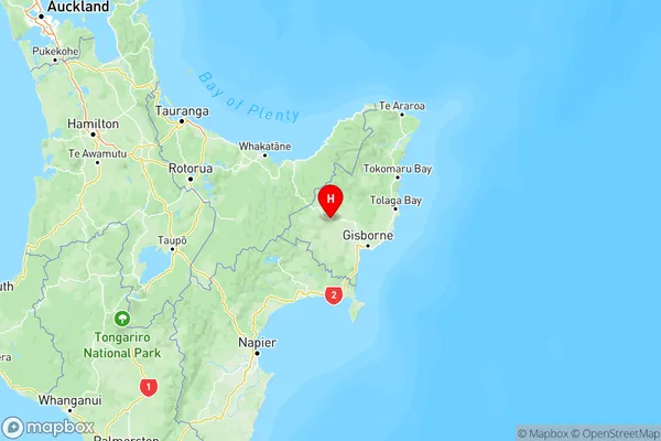
NZ Island
North IslandCountry
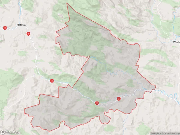
Otoko Area Map (Polygon)
Name
OtokoAdditional Name
Local Authority
Gisborne District
Otoko Suburbs (Sort by Population)
Otoko suburb has around
248.1 square
kilometers.There are more than 163 people (estimated)
live in Otoko, Te Karaka, Gisborne, New Zealand.