Otoko Area, Otoko Postcode(4092) & Map in Otoko
Otoko Area, Otoko Postcode(4092) & Map in Otoko, Gisborne District, New Zealand
Otoko, Gisborne District, New Zealand
Otoko Postcodes
Otoko Area (estimated)
248.1 square kilometersOtoko Population (estimated)
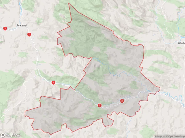
163 people live in Otoko, Gisborne, NZOtoko Suburb Area Map (Polygon)
Otoko Introduction
Otoko, Te Karaka, Gisborne, NZ, is a small rural town located in the Gisborne region of New Zealand's North Island. It is known for its scenic surroundings, including the Omaka River and the Te Karaka Hill Range. The town has a population of around 1,000 people and is a popular destination for outdoor activities such as hiking, cycling, and fishing. It is also home to the Omaka Classic Race, a popular cycling event that attracts riders from around the country.Region
Major City
Suburb Name
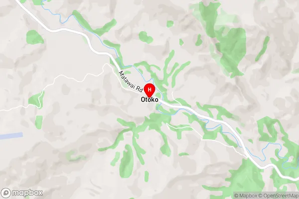
OtokoOtoko Area Map (Street)
Local Authority
Gisborne DistrictFull Address
Otoko, Gisborne District, New ZealandAddress Type
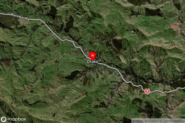
Locality in Town Te KarakaOtoko Suburb Map (Satellite)
Country
Main Region in AU
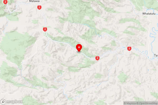
GisborneOtoko Region Map
Coordinates
-38.462998,177.6490545 (latitude/longitude)Distances
The distance from Otoko, Te Karaka, Gisborne District to NZ Top 10 Cities