The Key Suburbs & Region, The Key Map & Postcodes in The Key, Te Anau, Southland
The Key Postcodes, The Key ZipCodes, The Key , The Key Southland, The Key Suburbs, The Key Region, The Key Map, The Key Area
The Key Region
The Key Suburbs
The Key is a suburb place type in Te Anau, Southland, NZ. It contains 0 suburbs or localities.The Key Postcodes
The Key district
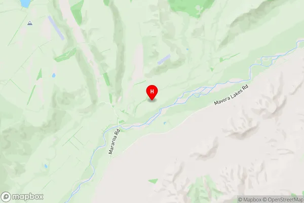
SouthlandThe Key Region Map
The Key Introduction
The Key is a small settlement in Southland, New Zealand, located on State Highway 6 between Invercargill and Te Anau. It is situated on the banks of the Mataura River and is known for its scenic views and outdoor activities such as fishing, hiking, and kayaking. The settlement has a population of around 200 people and is home to a primary school, a post office, a convenience store, and a hotel. The area is also popular with tourists who visit the nearby Fiordland National Park and the Southern Alps.The Key Region
The Key City
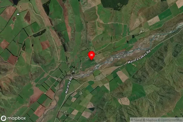
The Key Satellite Map
Full Address
The Key, Te Anau, SouthlandThe Key Coordinates
-45.497229,167.988706 (Latitude / Longitude)The Key Map in NZ
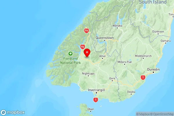
NZ Island
South IslandCountry
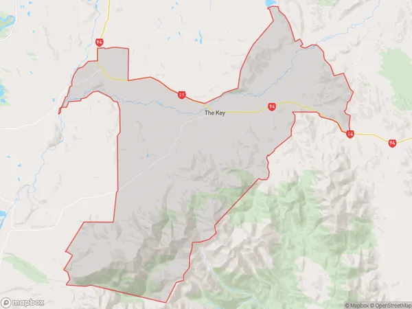
The Key Area Map (Polygon)
Name
The KeyAdditional Name
Local Authority
Southland District
The Key Suburbs (Sort by Population)
The Key suburb has around
252.4 square
kilometers.There are more than 78 people (estimated)
live in The Key, Fiordland Community, Southland, New Zealand.