Wedderburn Suburbs & Region, Wedderburn Map & Postcodes in Wedderburn, Central Otago, Central Otago / Lakes District, Otago, South Island, New Zealand
Wedderburn Postcodes, Wedderburn ZipCodes, Wedderburn , Wedderburn Otago, Wedderburn Suburbs, Wedderburn Region, Wedderburn Map, Wedderburn Area
Wedderburn Region
Wedderburn Suburbs
Wedderburn is a suburb place type in Central Otago, Central Otago / Lakes District, Otago, South Island, New Zealand, NZ. It contains 0 suburbs or localities.Wedderburn Postcodes
Wedderburn district
Central OtagoWedderburn Region Map

Wedderburn Introduction
Weddell Burn is a river in Otago, New Zealand, that flows from the Southern Alps to the Pacific Ocean. It is a popular destination for outdoor enthusiasts, with opportunities for hiking, skiing, and fishing. The river is also home to a variety of wildlife, including kea, red deer, and otters. The Weddell Burn Scenic Reserve is a protected area that encompasses the river and its surrounding mountains, and is a popular spot for picnics and camping. The river has a long history of human settlement, with evidence of early Maori settlements dating back to over 1,000 years ago. The area was also settled by European settlers in the 19th century, and the town of Weddell Burn was established in the 1860s.Wedderburn Region
Wedderburn City
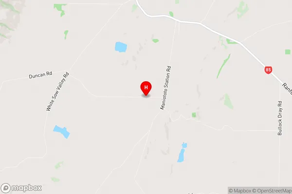
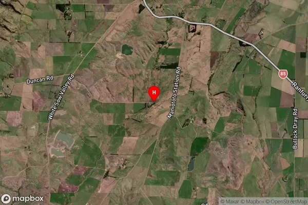
Wedderburn Satellite Map

Full Address
Wedderburn, Central Otago, Central Otago / Lakes District, Otago, South Island, New ZealandWedderburn Coordinates
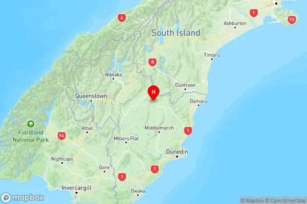
-45.049248,169.999803 (Latitude / Longitude)Wedderburn Map in NZ

NZ Island
South IslandCountry
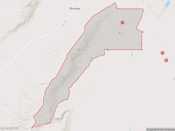
Wedderburn Area Map (Polygon)

Name
WedderburnAdditional Name
Local Authority
Central Otago District
Wedderburn Suburbs (Sort by Population)
Wedderburn suburb has around
93.6 square
kilometers.There are more than 45 people (estimated)
live in Wedderburn, Central Otago / Lakes District, Otago, New Zealand.