Kauru Hill Suburbs & Region, Kauru Hill Map & Postcodes in Kauru Hill, Oamaru, Otago
Kauru Hill Postcodes, Kauru Hill ZipCodes, Kauru Hill , Kauru Hill Otago, Kauru Hill Suburbs, Kauru Hill Region, Kauru Hill Map, Kauru Hill Area
Kauru Hill Region
Kauru Hill Suburbs
Kauru Hill is a suburb place type in Oamaru, Otago, NZ. It contains 0 suburbs or localities.Kauru Hill Postcodes
Kauru Hill district
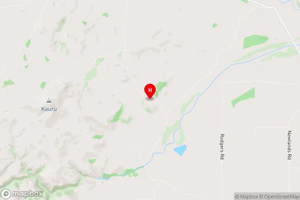
WaitakiKauru Hill Region Map
Kauru Hill Introduction
Kauru Hill is a prominent hill in the southern region of New Zealand's Otago Province. It rises to an elevation of 1,280 meters (4,200 feet) above sea level and is located within the Kauru Range, part of the Southern Alps. The hill is known for its stunning panoramic views, which encompass the surrounding valleys, lakes, and mountains. Kauru Hill is a popular destination for outdoor enthusiasts, with numerous hiking and tramping tracks leading to its summit. The hill is also home to a small settlement, which includes a historic hotel and a community hall.Kauru Hill Region
Kauru Hill City
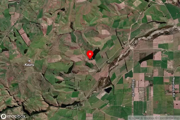
Kauru Hill Satellite Map
Full Address
Kauru Hill, Oamaru, OtagoKauru Hill Coordinates
-45.092868,170.744598 (Latitude / Longitude)Kauru Hill Map in NZ
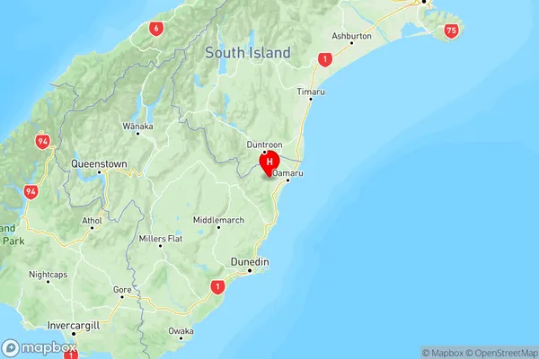
NZ Island
South IslandCountry
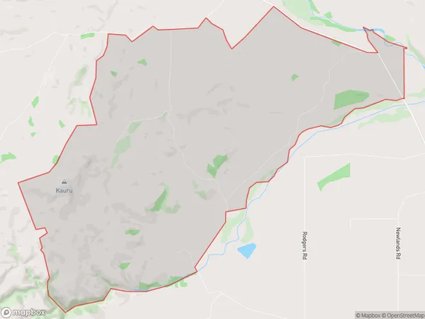
Kauru Hill Area Map (Polygon)
Name
Kauru HillAdditional Name
Local Authority
Waitaki District
Kauru Hill Suburbs (Sort by Population)
Kauru Hill suburb has around
27.3 square
kilometers.There are more than 29 people (estimated)
live in Kauru Hill, Oamaru, Otago, New Zealand.