Kauru Hill Area, Kauru Hill Postcode(9492) & Map in Kauru Hill
Kauru Hill Area, Kauru Hill Postcode(9492) & Map in Kauru Hill, Waitaki District,
Kauru Hill, Waitaki District,
Kauru Hill Postcodes
Kauru Hill Area (estimated)
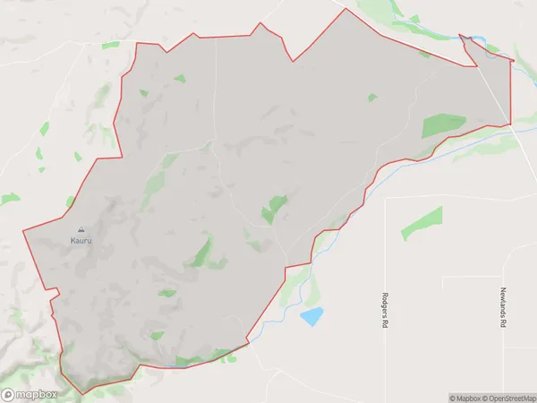
27.3 square kilometersKauru Hill Population (estimated)
29 people live in Kauru Hill, Oamaru, NZKauru Hill Suburb Area Map (Polygon)
Kauru Hill Introduction
Kauru Hill is a historic hill in Oamaru, Otago, New Zealand. It is known for its stunning panoramic views of the city and the surrounding area, as well as its rich cultural and historical significance. The hill was once the site of a Maori fortification, and it has a number of historic buildings and monuments on its slopes. Kauru Hill is also a popular recreational spot, with walking and hiking trails, a golf course, and a children's playground.Region
Major City
Suburb Name
Kauru HillKauru Hill Area Map (Street)
Local Authority
Waitaki DistrictFull Address
Kauru Hill, Waitaki District,Address Type
Locality in Town OamaruKauru Hill Suburb Map (Satellite)
Country
Main Region in AU
OtagoKauru Hill Region Map
Coordinates
0,0 (latitude/longitude)Distances
The distance from Kauru Hill, Oamaru, Waitaki District to NZ Top 10 Cities