Homewood Suburbs & Region, Homewood Map & Postcodes in Homewood, Masterton, Wellington
Homewood Postcodes, Homewood ZipCodes, Homewood , Homewood Wellington, Homewood Suburbs, Homewood Region, Homewood Map, Homewood Area
Homewood Region (Pokokini Region)
Homewood Suburbs
Homewood is a suburb place type in Masterton, Wellington, NZ. It contains 0 suburbs or localities.Homewood Postcodes
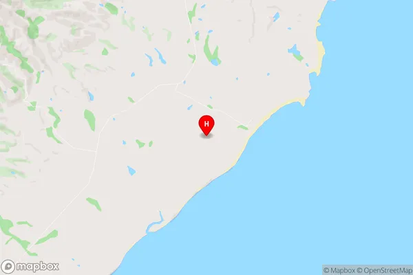
Homewood Region Map

Homewood Introduction
Homewood is a suburb of Wellington, New Zealand, located on the southern coast of the island. It is known for its scenic beaches, tranquil parks, and vibrant community. The suburb has a population of around 10,000 people and is home to a variety of housing types, including apartments, townhouses, and single-family homes. Homewood is located within easy reach of the city center, with public transportation options such as buses and trains making it convenient for residents to get around. The area is also home to a number of schools, including Homewood Primary School and Wellington College.Homewood Region
Homewood City
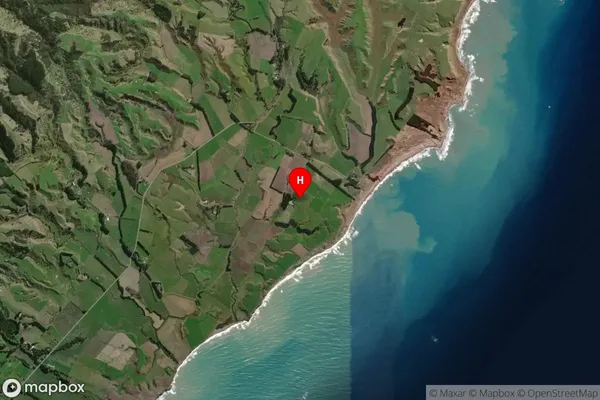
Homewood Satellite Map

Full Address
Homewood, Masterton, WellingtonHomewood Coordinates
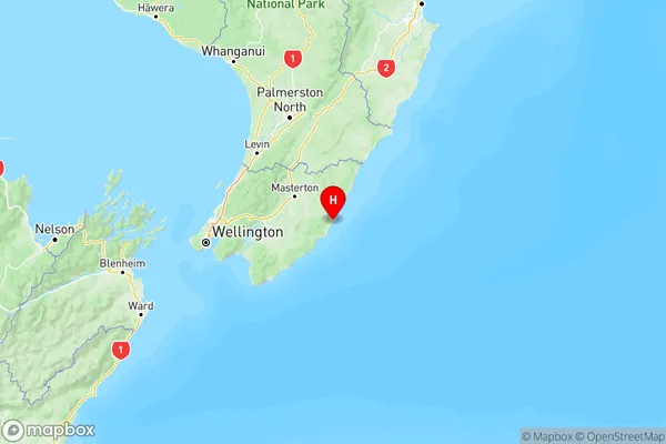
-41.137837,176.038204 (Latitude / Longitude)Homewood Map in NZ

NZ Island
North IslandCountry
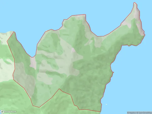
Homewood Area Map (Polygon)

Name
HomewoodAdditional Name
PokokiniLocal Authority
Marlborough District
Homewood Suburbs (Sort by Population)
Homewood also known as Pokokini. Homewood suburb has around
6.0 square
kilometers.There are more than 4 people (estimated)
live in Homewood, Wellington, Wellington, New Zealand.