Homewood Area, Homewood Postcode(6012) & Map in Homewood
Homewood Area, Homewood Postcode(6012) & Map in Homewood, Marlborough District, New Zealand
Homewood, Marlborough District, New Zealand
Homewood Area (estimated)
6.0 square kilometersHomewood Population (estimated)
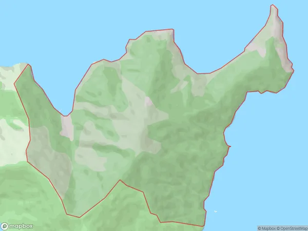
4 people live in Homewood, Wellington, NZHomewood Suburb Area Map (Polygon)
Homewood Introduction
Homewood is a small settlement in the Marlborough Sounds, Wellington, New Zealand. It is located on the southern shore of Pelorus Sound and is surrounded by stunning natural scenery. The area is popular for hiking, kayaking, and fishing, and there are several guesthouses and lodges to accommodate visitors. Homewood also has a small community hall and a convenience store.Region
Major City
Suburb Name
HomewoodOther Name(s)
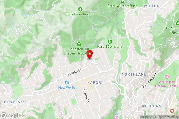
PokokiniHomewood Area Map (Street)
Local Authority
Marlborough DistrictFull Address
Homewood, Marlborough District, New ZealandAddress Type
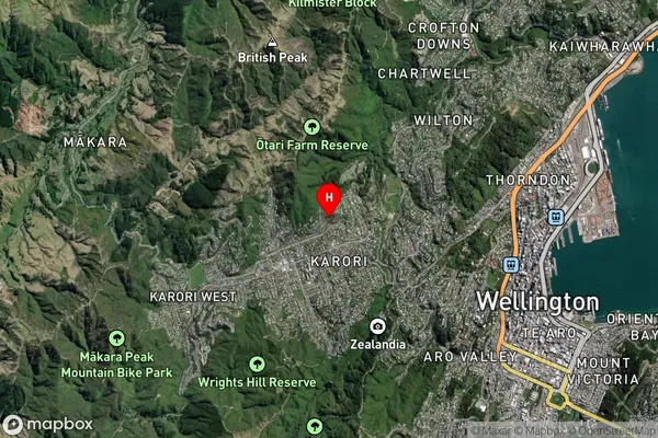
Locality in Major Locality Marlborough SoundsHomewood Suburb Map (Satellite)
Country
Main Region in AU
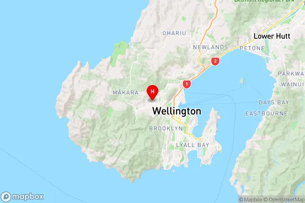
WellingtonHomewood Region Map
Coordinates
-41.27909675,174.744520166423 (latitude/longitude)Distances
The distance from Homewood, Marlborough Sounds, Marlborough District to NZ Top 10 Cities