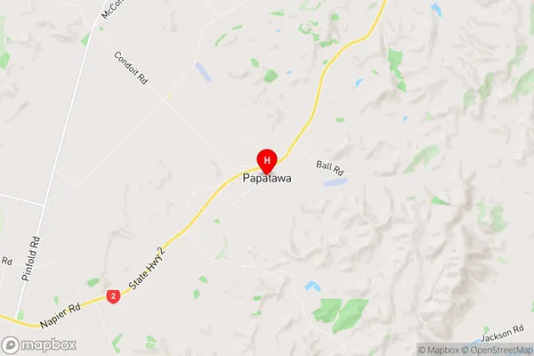
Papatawa Suburbs & Region, Papatawa Map & Postcodes in Papatawa, Woodville, Manawatu-Wanganui
Papatawa Postcodes, Papatawa ZipCodes, Papatawa , Papatawa Manawatu-Wanganui, Papatawa Suburbs, Papatawa Region, Papatawa Map, Papatawa Area
Papatawa Region (Maharahara West, Mangarawa Region)
Papatawa Suburbs
Papatawa is a suburb place type in Woodville, Manawatu-Wanganui, NZ. It contains 0 suburbs or localities.Papatawa Postcodes
Papatawa district
TararuaPapatawa Region Map

Papatawa Introduction
Papatawa is a small rural community located in the Manawatu-Wanganui region of New Zealand. It is situated on the banks of the Papatawa River, approximately 30 kilometers south of Palmerston North. The community has a population of around 100 people and is known for its scenic surroundings, including rolling hills, native forests, and farmland. The area has a rich history, with evidence of early Māori settlement dating back to the 13th century. The village has a primary school, a post office, and a small community hall. The surrounding area is popular for outdoor activities such as hiking, fishing, and hunting, and the Papatawa River is a popular spot for kayaking and canoeing.Papatawa Region
Papatawa City
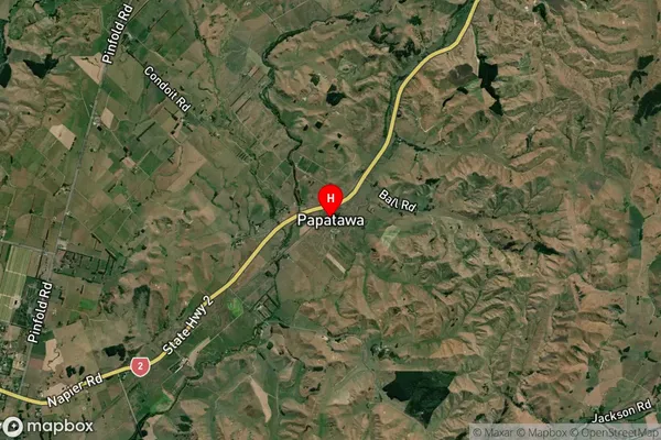
Papatawa Satellite Map

Full Address
Papatawa, Woodville, Manawatu-WanganuiPapatawa Coordinates
-40.319497,175.928501 (Latitude / Longitude)Papatawa Map in NZ

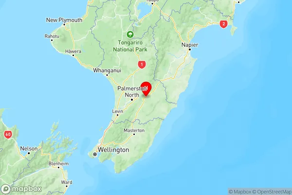
NZ Island
North IslandCountry
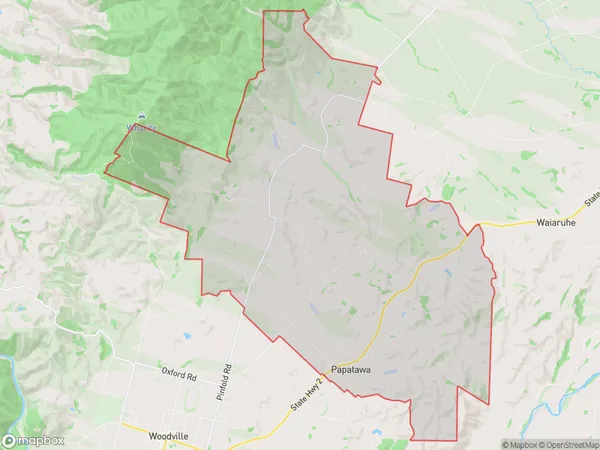
Papatawa Area Map (Polygon)

Name
PapatawaAdditional Name
Maharahara West, MangarawaLocal Authority
Tararua District
Papatawa Suburbs (Sort by Population)
Papatawa also known as Maharahara West, Mangarawa. Papatawa suburb has around
76.9 square
kilometers.There are more than 139 people (estimated)
live in Papatawa, Woodville, Manawatu-Wanganui, New Zealand.