Papatawa Area, Papatawa Postcode(4998) & Map in Papatawa
Papatawa Area, Papatawa Postcode(4998) & Map in Papatawa, Tararua District, New Zealand
Papatawa, Tararua District, New Zealand
Papatawa Postcodes
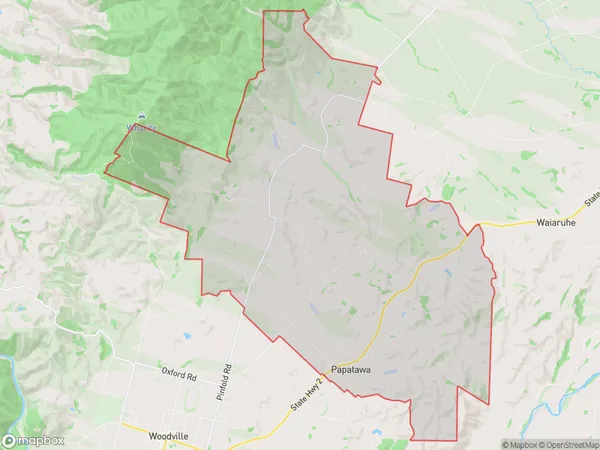
Papatawa Area (estimated)
76.9 square kilometersPapatawa Population (estimated)
139 people live in Papatawa, Manawatu-Wanganui, NZPapatawa Suburb Area Map (Polygon)
Papatawa Introduction
Papatawa is a small rural community located in the Woodville district of Manawatu-Wanganui, New Zealand. It is situated on the banks of the Papatawa River, approximately 10 kilometers south of Woodville town. The community has a population of around 500 people and is known for its scenic rural surroundings, including rolling hills, farmland, and native forests. The area has a rich history, with evidence of early Māori settlement dating back to the 13th century.Region
Major City
Suburb Name
PapatawaOther Name(s)
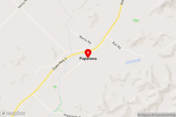
Maharahara West, MangarawaPapatawa Area Map (Street)
Local Authority
Tararua DistrictFull Address
Papatawa, Tararua District, New ZealandAddress Type
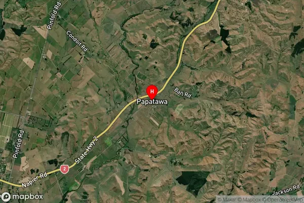
Locality in Town WoodvillePapatawa Suburb Map (Satellite)
Country
Main Region in AU
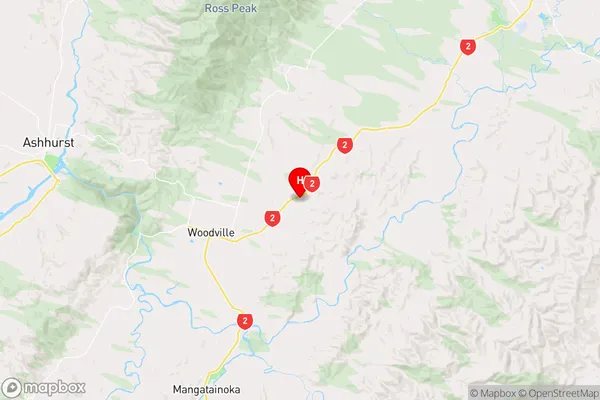
Manawatu-WanganuiPapatawa Region Map
Coordinates
-40.3194966,175.9285008 (latitude/longitude)Distances
The distance from Papatawa, Woodville, Tararua District to NZ Top 10 Cities