Te Pohue Suburbs & Region, Te Pohue Map & Postcodes in Te Pohue, Napier, Hawke's Bay
Te Pohue Postcodes, Te Pohue ZipCodes, Te Pohue , Te Pohue Hawke's Bay, Te Pohue Suburbs, Te Pohue Region, Te Pohue Map, Te Pohue Area
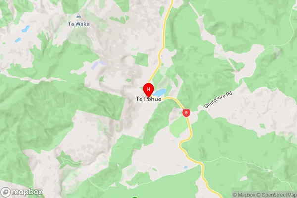
Te Pohue Region (Ohurakura Region)
Te Pohue Suburbs
Te Pohue is a suburb place type in Napier, Hawke's Bay, NZ. It contains 0 suburbs or localities.Te Pohue Postcodes
Te Pohue Region Map
Te Pohue Introduction
Te Pohue is a small settlement in the Hawke's Bay region of New Zealand. It is located on the banks of the Tukituki River, approximately 30 kilometers southeast of Hastings. The settlement is known for its historic stone church, which was built in 1877 and is a registered historic place. Te Pohue also has a primary school and a small community hall. The area is surrounded by farmland and scenic countryside, and is popular with outdoor enthusiasts and nature lovers.Te Pohue Region
Te Pohue City
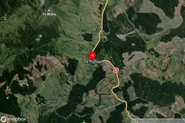
Te Pohue Satellite Map
Full Address
Te Pohue, Napier, Hawke's BayTe Pohue Coordinates
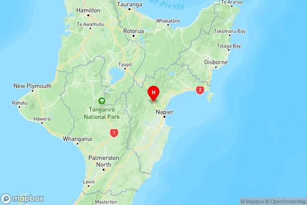
-39.251178,176.681618 (Latitude / Longitude)Te Pohue Map in NZ
NZ Island
North IslandCountry
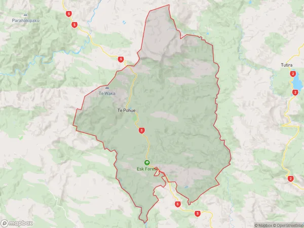
Te Pohue Area Map (Polygon)
Name
Te PohueAdditional Name
OhurakuraLocal Authority
Hastings District
Te Pohue Suburbs (Sort by Population)
Te Pohue also known as Ohurakura. Te Pohue suburb has around
251.7 square
kilometers.There are more than 205 people (estimated)
live in Te Pohue, Napier, Hawke's Bay, New Zealand.