Te Pohue Area, Te Pohue Postcode(4182) & Map in Te Pohue
Te Pohue Area, Te Pohue Postcode(4182) & Map in Te Pohue, Hastings District, New Zealand
Te Pohue, Hastings District, New Zealand
Te Pohue Postcodes
Te Pohue Area (estimated)
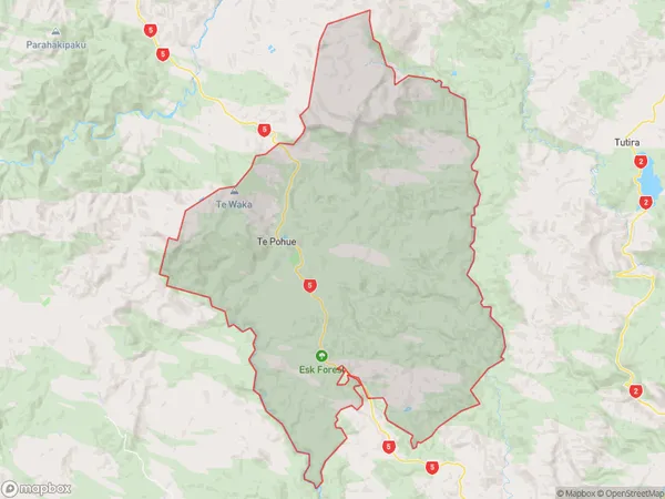
251.7 square kilometersTe Pohue Population (estimated)
205 people live in Te Pohue, Hawke's Bay, NZTe Pohue Suburb Area Map (Polygon)
Te Pohue Introduction
Te Pohue is a historic stone fortification located in Napier, Hawke's Bay, New Zealand. It was built by the Ngati Toa iwi in the 13th century and is considered one of the most important historical sites in the country. The fortification is made up of a series of stone walls and towers and is surrounded by a moat. It was used as a refuge and a base for tribal wars and was also a place of worship. Today, Te Pohue is a popular tourist attraction and is a UNESCO World Heritage Site.Region
Major City
Suburb Name
Te Pohue (Maori Name: Te Pōhue)Other Name(s)
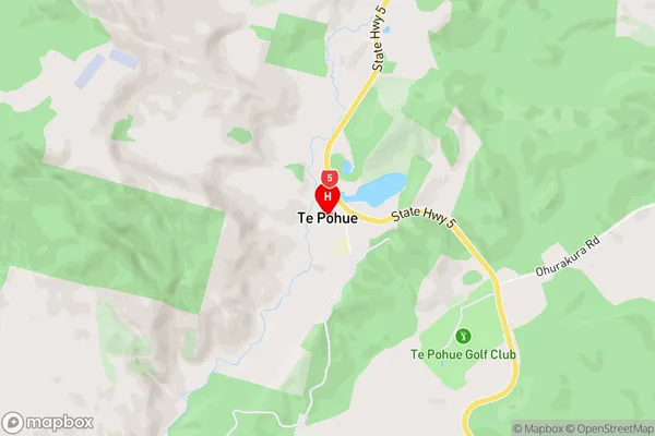
OhurakuraTe Pohue Area Map (Street)
Local Authority
Hastings DistrictFull Address
Te Pohue, Hastings District, New ZealandAddress Type
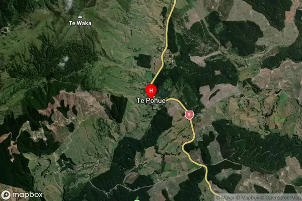
Locality in City NapierTe Pohue Suburb Map (Satellite)
Country
Main Region in AU
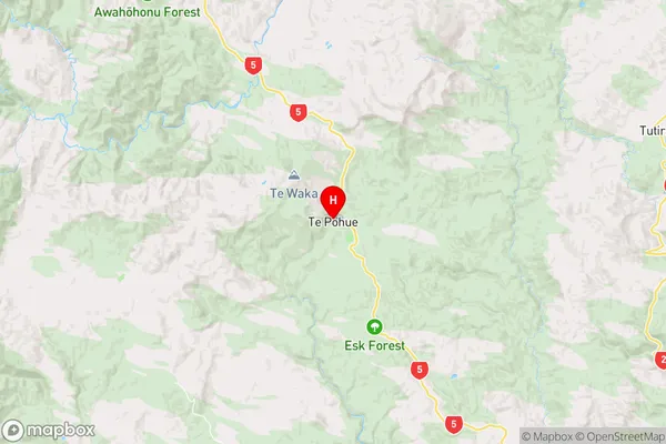
Hawke's BayTe Pohue Region Map
Coordinates
-39.2511783,176.6816176 (latitude/longitude)Distances
The distance from Te Pohue, Napier, Hastings District to NZ Top 10 Cities