Te Hauke Suburbs & Region, Te Hauke Map & Postcodes in Te Hauke, Hastings, Hawke's Bay
Te Hauke Postcodes, Te Hauke ZipCodes, Te Hauke , Te Hauke Hawke's Bay, Te Hauke Suburbs, Te Hauke Region, Te Hauke Map, Te Hauke Area
Te Hauke Region (Te Aute Region)
Te Hauke Suburbs
Te Hauke is a suburb place type in Hastings, Hawke's Bay, NZ. It contains 0 suburbs or localities.Te Hauke Postcodes
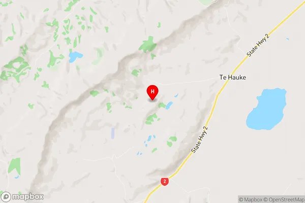
Te Hauke Region Map
Te Hauke Introduction
Te Hauke is a small rural settlement located in the Hawke's Bay region of New Zealand. It is situated on the banks of the Tukituki River, approximately 30 kilometers southeast of Hastings. The area is known for its scenic beauty, with rolling hills, lush green farmland, and picturesque vineyards. Te Hauke has a population of around 100 people and is a popular destination for tourists who enjoy hiking, cycling, and fishing in the nearby rivers and lakes. The settlement also has a small community hall and a post office, and there are several cafes and restaurants in the surrounding area.Te Hauke Region
Te Hauke City
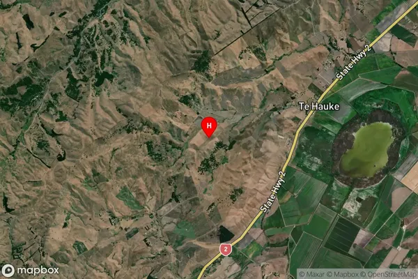
Te Hauke Satellite Map
Full Address
Te Hauke, Hastings, Hawke's BayTe Hauke Coordinates
-39.779629,176.663091 (Latitude / Longitude)Te Hauke Map in NZ
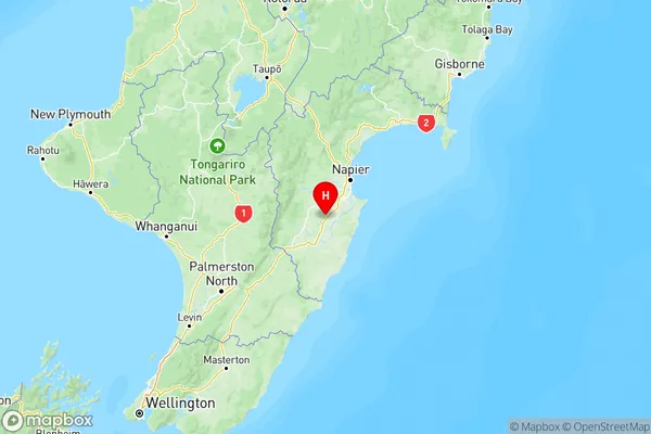
NZ Island
North IslandCountry
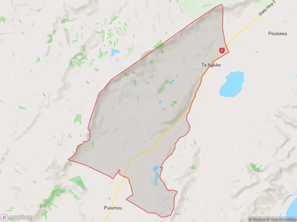
Te Hauke Area Map (Polygon)
Name
Te HaukeAdditional Name
Te AuteLocal Authority
Hastings District
Te Hauke Suburbs (Sort by Population)
Te Hauke also known as Te Aute. Te Hauke suburb has around
38.6 square
kilometers.There are more than 263 people (estimated)
live in Te Hauke, Hastings, Hawke's Bay, New Zealand.