Pukehou Suburbs & Region, Pukehou Map & Postcodes in Pukehou, Hastings, Hawke's Bay
Pukehou Postcodes, Pukehou ZipCodes, Pukehou , Pukehou Hawke's Bay, Pukehou Suburbs, Pukehou Region, Pukehou Map, Pukehou Area
Pukehou Region
Pukehou Suburbs
Pukehou is a suburb place type in Hastings, Hawke's Bay, NZ. It contains 0 suburbs or localities.Pukehou Postcodes
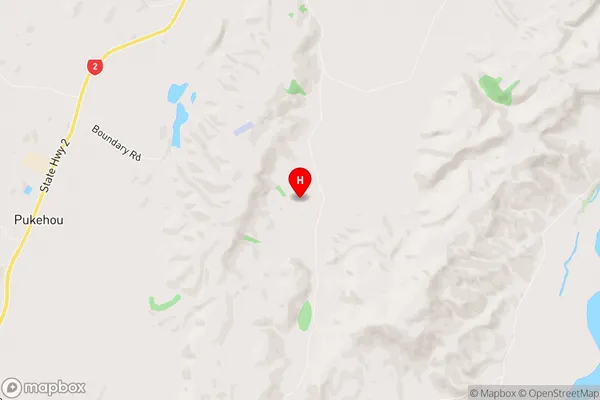
Pukehou Region Map
Pukehou Introduction
Pukehou, Hawke's Bay, New Zealand, is a small rural community located in the heart of the Hawke's Bay region. It is known for its beautiful gardens, historic buildings, and friendly locals. The area is surrounded by farmland and vineyards, and the nearby Te Mata Peak provides stunning views of the surrounding countryside. Pukehou is a popular destination for tourists and locals alike, with a variety of activities and attractions to enjoy.Pukehou Region
Pukehou City
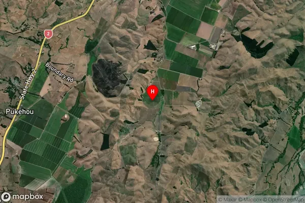
Pukehou Satellite Map
Full Address
Pukehou, Hastings, Hawke's BayPukehou Coordinates
-39.831615,176.680822 (Latitude / Longitude)Pukehou Map in NZ
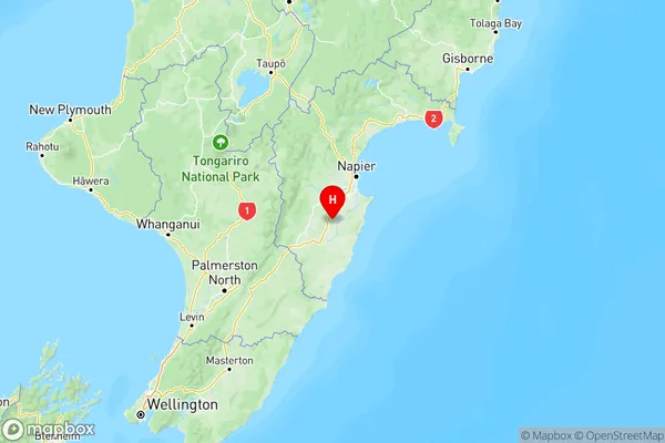
NZ Island
North IslandCountry