Waimangu Suburbs & Region, Waimangu Map & Postcodes in Waimangu, Rotorua, Bay of Plenty
Waimangu Postcodes, Waimangu ZipCodes, Waimangu , Waimangu Bay of Plenty, Waimangu Suburbs, Waimangu Region, Waimangu Map, Waimangu Area
Waimangu Region
Waimangu Suburbs
Waimangu is a suburb place type in Rotorua, Bay of Plenty, NZ. It contains 0 suburbs or localities.Waimangu Postcodes
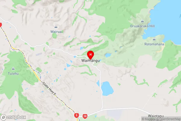
Waimangu Region Map
Waimangu Introduction
Waimangu Volcanic Valley is a geothermal valley and geyser field located in the Bay of Plenty region of New Zealand's North Island. It is known for its colorful and dramatic landscape, including hot springs, geysers, and mud pools. The valley is home to the world's largest hot water geyser, the Yellow Island Geyser, which erupts to a height of up to 30 meters. Waimangu Volcanic Valley is a popular tourist destination and is part of the Waimangu Volcanic Park, a UNESCO World Heritage Site.Waimangu Region
Waimangu City
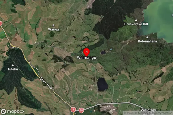
Waimangu Satellite Map
Full Address
Waimangu, Rotorua, Bay of PlentyWaimangu Coordinates
-38.28594,176.38517 (Latitude / Longitude)Waimangu Map in NZ
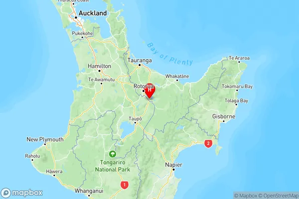
NZ Island
North IslandCountry
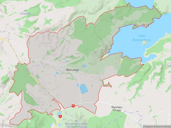
Waimangu Area Map (Polygon)
Name
WaimanguAdditional Name
Local Authority
Rotorua District
Waimangu Suburbs (Sort by Population)
Waimangu suburb has around
57.2 square
kilometers.There are more than 78 people (estimated)
live in Waimangu, Rotorua, Bay of Plenty, New Zealand.