Waimangu Area, Waimangu Postcode(3073) & Map in Waimangu
Waimangu Area, Waimangu Postcode(3073) & Map in Waimangu, Rotorua District, New Zealand
Waimangu, Rotorua District, New Zealand
Waimangu Postcodes
Waimangu Area (estimated)
57.2 square kilometersWaimangu Population (estimated)
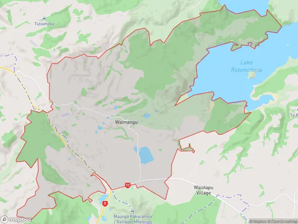
78 people live in Waimangu, Bay of Plenty, NZWaimangu Suburb Area Map (Polygon)
Waimangu Introduction
Waimangu Volcanic Valley is a geothermal wonderland located in Rotorua, Bay of Plenty, New Zealand. It features colorful hot springs, geysers, and mud pools, and is a popular tourist attraction. The valley is home to the world's largest hot water lake, and visitors can take boat tours on the lake to explore its scenic surroundings.Region
Major City
Suburb Name
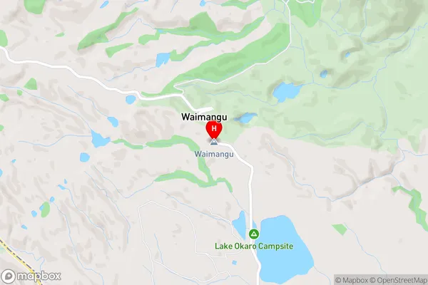
WaimanguWaimangu Area Map (Street)
Local Authority
Rotorua DistrictFull Address
Waimangu, Rotorua District, New ZealandAddress Type
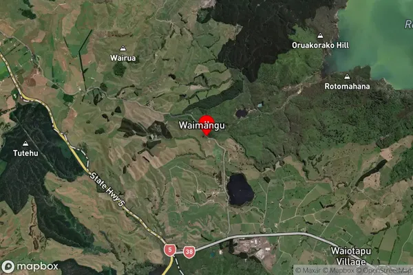
Locality in City RotoruaWaimangu Suburb Map (Satellite)
Country
Main Region in AU
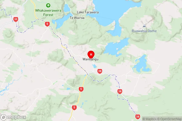
Bay of PlentyWaimangu Region Map
Coordinates
-38.2883535,176.3863422 (latitude/longitude)Distances
The distance from Waimangu, Rotorua, Rotorua District to NZ Top 10 Cities