Waitanguru Suburbs & Region, Waitanguru Map & Postcodes in Waitanguru, Te Kuiti, Waikato
Waitanguru Postcodes, Waitanguru ZipCodes, Waitanguru , Waitanguru Waikato, Waitanguru Suburbs, Waitanguru Region, Waitanguru Map, Waitanguru Area
Waitanguru Region (Haku, Mairoa, Waitanguru Region)
Waitanguru Suburbs
Waitanguru is a suburb place type in Te Kuiti, Waikato, NZ. It contains 0 suburbs or localities.Waitanguru Postcodes
Waitanguru district
WaitomoWaitanguru Region Map
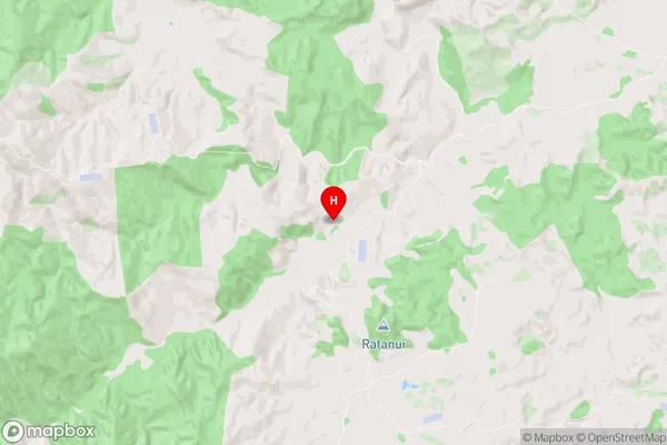
Waitanguru Introduction
Waitanguru is a small town located in the Waikato region of New Zealand. It is situated on the banks of the Waitanguru River, approximately 30 kilometers south of Hamilton. The town has a population of around 1,200 people and is known for its scenic surroundings, including the Waitanguru Mountains and the Waitanguru National Park. The town has a primary school, a post office, a supermarket, and a variety of recreational facilities, including a golf course and a swimming pool. Waitanguru is also home to a number of historic buildings, including the Waitanguru Hotel, which was built in 1887.Waitanguru Region
Waitanguru City
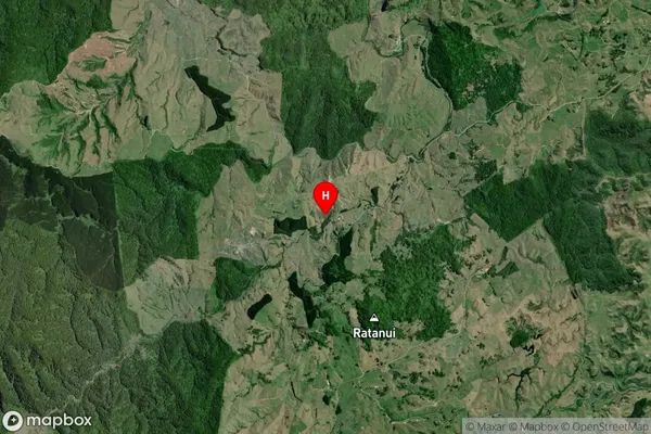
Waitanguru Satellite Map
Full Address
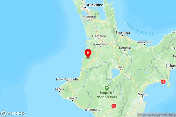
Waitanguru, Te Kuiti, WaikatoWaitanguru Coordinates
-38.36629,174.867372 (Latitude / Longitude)Waitanguru Map in NZ
NZ Island
North IslandCountry
Waitanguru Area Map (Polygon)
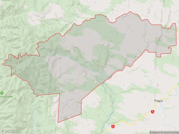
Name
MangaotakiAdditional Name
Haku, Mairoa, WaitanguruLocal Authority
Waitomo District
Waitanguru Suburbs (Sort by Population)
Mangaotaki also known as Haku, Mairoa, Waitanguru. Mangaotaki suburb has around
217.7 square
kilometers.There are more than 133 people (estimated)
live in Mangaotaki, Te Kuiti, Waikato, New Zealand.