Mangaotaki Area, Mangaotaki Postcode(3971) & Map in Mangaotaki
Mangaotaki Area, Mangaotaki Postcode(3971) & Map in Mangaotaki, Waitomo District, New Zealand
Mangaotaki, Waitomo District, New Zealand
Mangaotaki Postcodes
Mangaotaki Area (estimated)
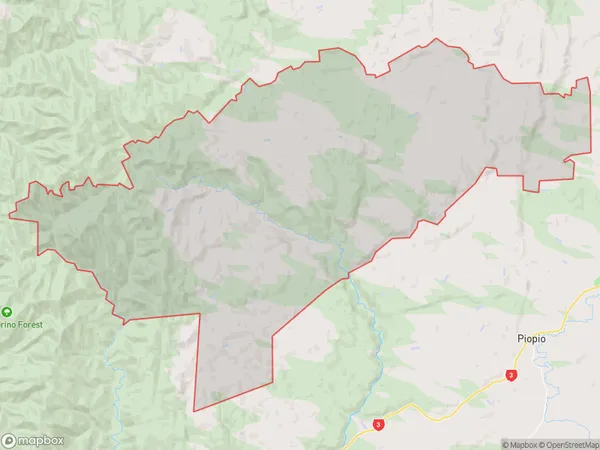
217.7 square kilometersMangaotaki Population (estimated)
133 people live in Mangaotaki, Waikato, NZMangaotaki Suburb Area Map (Polygon)
Mangaotaki Introduction
Mangaotaki is a small rural community located in the Piopio district of Waikato, New Zealand. It is known for its beautiful natural surroundings, including the Mangaotaki River and the surrounding hills. The community has a strong sense of community and is home to a variety of recreational facilities, including a golf course and a sports field. Mangaotaki is also home to a number of historic buildings, including the Mangaotaki Church, which was built in 1875.Region
Major City
Suburb Name
MangaotakiOther Name(s)
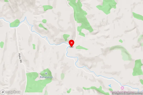
Haku, Mairoa, WaitanguruMangaotaki Area Map (Street)
Local Authority
Waitomo DistrictFull Address
Mangaotaki, Waitomo District, New ZealandAddress Type
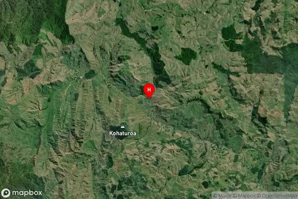
Locality in Town PiopioMangaotaki Suburb Map (Satellite)
Country
Main Region in AU
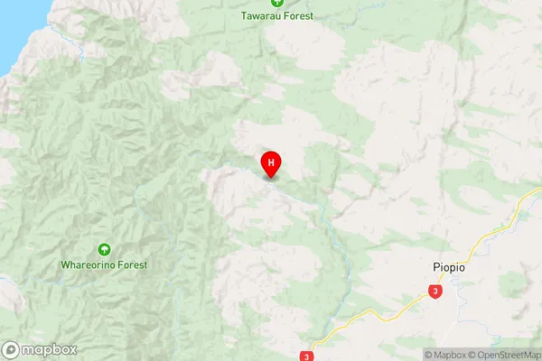
WaikatoMangaotaki Region Map
Coordinates
-38.4159028,174.8793541 (latitude/longitude)Distances
The distance from Mangaotaki, Piopio, Waitomo District to NZ Top 10 Cities